Otara Suburbs & Region, Otara Map & Postcodes in Otara, South Auckland, Auckland, North Island, New Zealand
Otara Postcodes, Otara ZipCodes, Otara , Otara Auckland, Otara Suburbs, Otara Region, Otara Map, Otara Area
Otara Region (Apanui, Te Rere Marae, Waioeka Pa, Woodlands Region)
Otara Suburbs
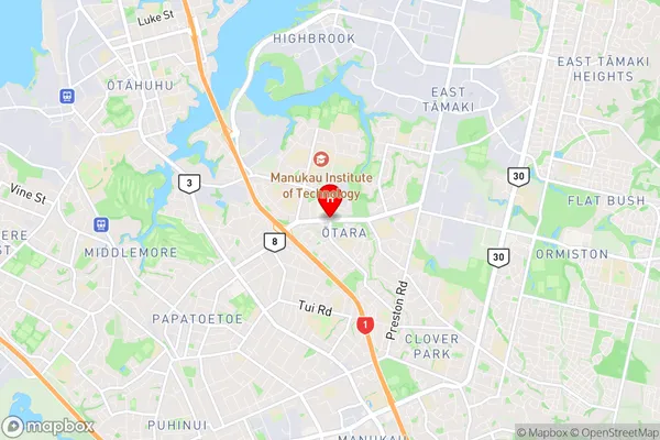
Otara is a suburb place type in South Auckland, Auckland, North Island, New Zealand, NZ. It contains 0 suburbs or localities.Otara district
South AucklandOtara Region Map

Otara Introduction
Otara is a suburb of Auckland, New Zealand, with a rich cultural heritage and a diverse population. It is known for its vibrant arts scene, with numerous galleries and museums, and its historic buildings, including the Otara Market and the Otara Railway Station. The suburb also has a large Pacific Island community, with many shops and restaurants serving traditional cuisine. Otara is located south of the city center and is easily accessible by public transport. It is a popular destination for tourists and locals alike, with its beautiful parks and gardens and its close proximity to the beach.Otara Region
Otara City
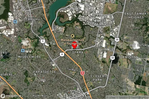
Otara Satellite Map

Full Address
Otara, South Auckland, Auckland, North Island, New ZealandOtara Coordinates
-36.9624714,174.8747796 (Latitude / Longitude)Otara Map in NZ

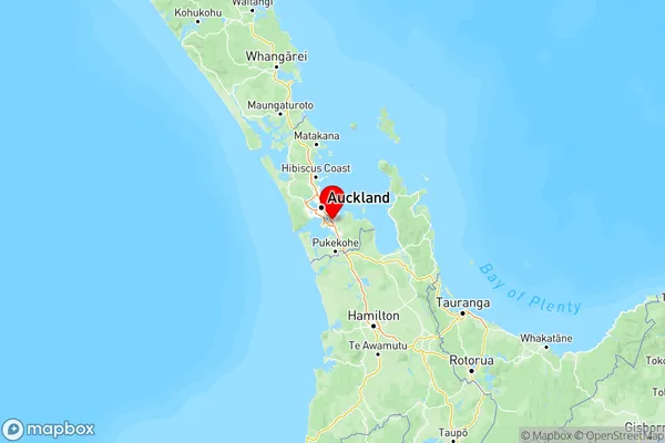
NZ Island
North IslandCountry
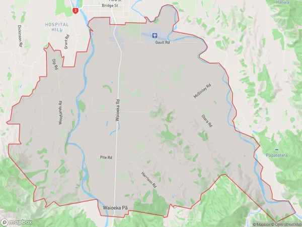
Otara Area Map (Polygon)

Name
OtaraAdditional Name
Apanui, Te Rere Marae, Waioeka Pa, WoodlandsLocal Authority
Opotiki District (Maori Name: Ōpōtiki District)
Otara Suburbs (Sort by Population)
Otara also known as Apanui, Te Rere Marae, Waioeka Pa, Woodlands. Otara suburb has around
65.2 square
kilometers.There are more than 601 people (estimated)
live in Otara, Opotiki, Bay of Plenty, New Zealand.