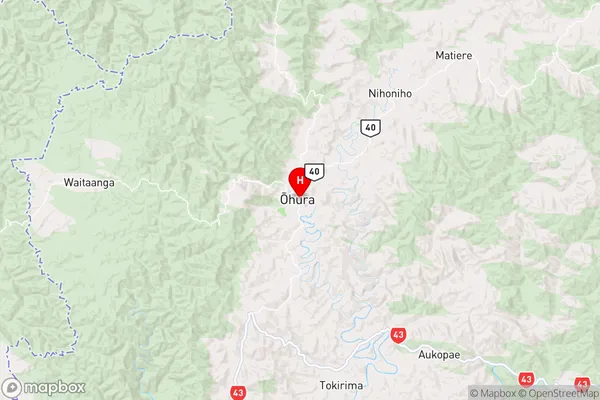
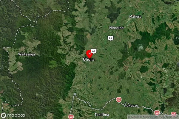
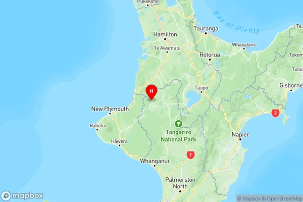
Ohura Suburbs & Region, Ohura Map & Postcodes in Ohura, Manawatu-Wanganui

Ohura Postcodes, Ohura ZipCodes, Ohura , Ohura Manawatu-Wanganui, Ohura Suburbs, Ohura Region, Ohura Map, Ohura Area

Ohura Region (Mangaparo, Nihoniho Region)

  • Ohura Suburbs

    Ohura is a city place type in Manawatu-Wanganui, NZ. It contains 3 suburbs or localities.
  • Ohura Postcodes

    3926
  • Ohura Region Map

    Ohura, Manawatu-Wanganui Region Map
  • Ohura Introduction

    Ohura is a small town in the Manawatu-Wanganui region of New Zealand. It is located on State Highway 3, approximately 30 kilometers south of Palmerston North and 12 kilometers north of Levin. The town has a population of around 1,000 people and is known for its scenic surroundings, including the Ohura River and the Ohura Forest. The town has a primary school, a post office, a supermarket, and a variety of other services. The Ohura Beach is a popular spot for swimming, fishing, and picnicking, and the nearby Ohura Forest is a popular destination for hiking and mountain biking.
  • Ohura Region

  • Ohura Satellite Map

    Ohura, Manawatu-Wanganui Satellite Map
  • Full Address

    Ohura, Manawatu-Wanganui
  • Ohura Coordinates

    -38.842277,174.984774 (Latitude / Longitude)
  • Ohura Map in NZ

    Ohura, Manawatu-Wanganui Region Map
  • NZ Island

    North Island
  • Ohura Area Map (Polygon)

    Ohura, Manawatu-Wanganui Polygon Area Map
  • Name

    Ohura
  • Additional Name

    Mangaparo, Nihoniho
  • Local Authority

    Ruapehu District

Ohura Suburbs (Sort by Population)

Ohura Suburbs (Sort in alphabetical)