Ohura Area, Ohura Postcode(3926) & Map in Ohura
Ohura Area, Ohura Postcode(3926) & Map in Ohura, Ruapehu District, New Zealand
Ohura, Ruapehu District, New Zealand
Ohura Area (estimated)
410.4 square kilometersOhura Population (estimated)
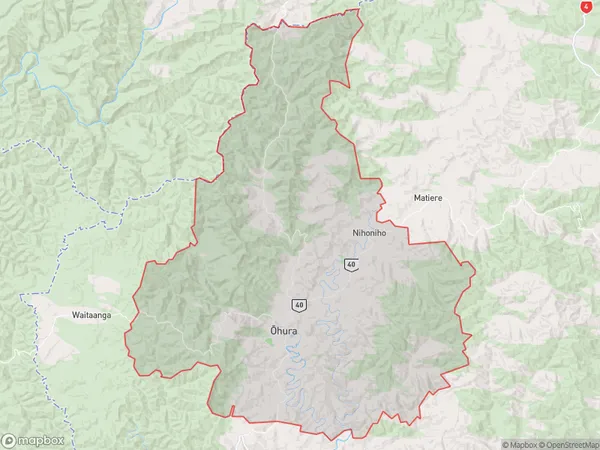
220 people live in Ohura, Manawatu-Wanganui, NZOhura Suburb Area Map (Polygon)
Ohura Introduction
Ohura is a small town in Manawatu-Wanganui, New Zealand. It is located on State Highway 3, 37 km north of Palmerston North and 112 km south of Wellington. The town has a population of around 1,000 people and is known for its scenic surroundings and historic buildings. The Ohura River flows through the town, and the Ohura Scenic Reserve offers a range of outdoor activities such as hiking, cycling, and fishing.Region
Major City
Suburb Name
Ohura (Maori Name: Ōhura)Other Name(s)
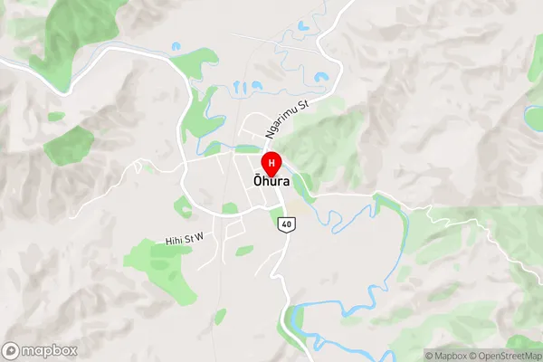
Mangaparo, NihonihoOhura Area Map (Street)
Local Authority
Ruapehu DistrictFull Address
Ohura, Ruapehu District, New ZealandAddress Type
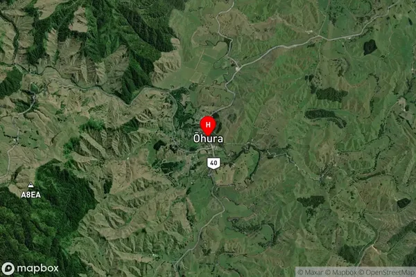
Suburb in Major Locality OhuraOhura Suburb Map (Satellite)
Country
Main Region in AU
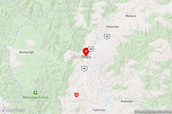
Manawatu-WanganuiOhura Region Map
Coordinates
-38.8420351,174.9829083 (latitude/longitude)Distances
The distance from Ohura, Ohura, Ruapehu District to NZ Top 10 Cities