Waitaanga Area, Waitaanga Postcode & Map in Waitaanga
Waitaanga Area, Waitaanga Postcode & Map in Waitaanga, Ruapehu District, New Zealand
Waitaanga, Ruapehu District, New Zealand
Waitaanga Area (estimated)
64.5 square kilometersWaitaanga Population (estimated)
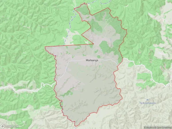
17 people live in Waitaanga, Manawatu-Wanganui, NZWaitaanga Suburb Area Map (Polygon)
Waitaanga Introduction
Waitaanga, Ohura, Manawatu-Wanganui, New Zealand, is a small rural town located on State Highway 3. It is situated between the Ohura River and the Ruahine Range, and it is approximately 10 kilometers south of Palmerston North. The town has a population of around 100 people and is known for its scenic surroundings and peaceful atmosphere. The local primary school is Waitaanga School, and the town also has a post office, a convenience store, and a community hall.Region
Major City
Suburb Name
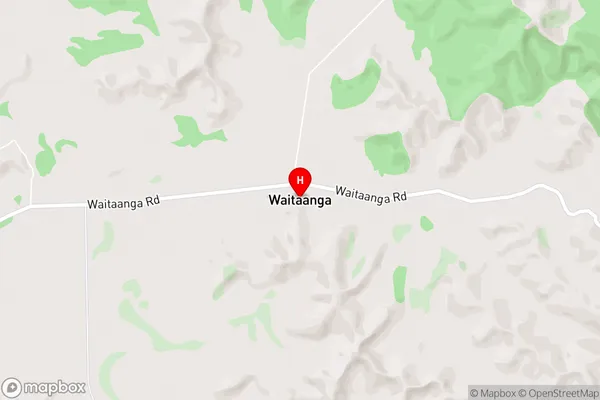
WaitaangaWaitaanga Area Map (Street)
Local Authority
Ruapehu DistrictFull Address
Waitaanga, Ruapehu District, New ZealandAddress Type
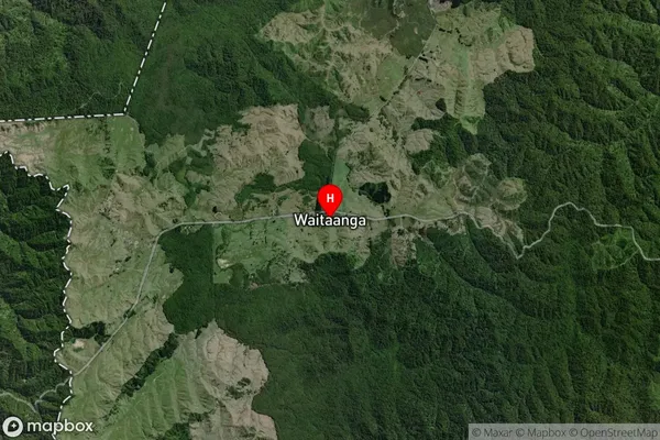
Locality in Major Locality OhuraWaitaanga Suburb Map (Satellite)
Country
Main Region in AU
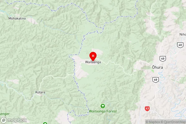
Manawatu-WanganuiWaitaanga Region Map
Coordinates
-38.83287,174.84007 (latitude/longitude)Distances
The distance from Waitaanga, Ohura, Ruapehu District to NZ Top 10 Cities