Ohakune Suburbs & Region, Ohakune Map & Postcodes in Ohakune, Manawatu-Wanganui
Ohakune Postcodes, Ohakune ZipCodes, Ohakune , Ohakune Manawatu-Wanganui, Ohakune Suburbs, Ohakune Region, Ohakune Map, Ohakune Area
Ohakune Region (Makaranui, Turoa Village Region)
Ohakune Suburbs
Ohakune is a city place type in Manawatu-Wanganui, NZ. It contains 4 suburbs or localities.Ohakune Postcodes
Ohakune Introduction
Ohakune is a small town located in the Manawatu-Wanganui region of New Zealand. It is known for its stunning natural scenery, including the Ohakune Mountain Railway, the Ohakune Forest, and the Ohakune Pancake Rocks. The town is also home to a variety of outdoor activities, such as hiking, mountain biking, and skiing, making it a popular destination for tourists and outdoor enthusiasts alike. Ohakune is located at the intersection of State Highway 1 and the Ohakune Expressway, and is approximately 120 kilometers north of Wellington.Ohakune Region
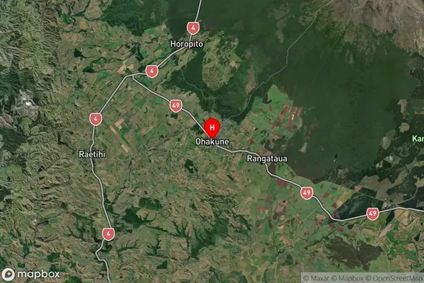
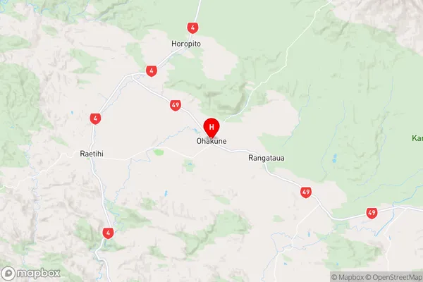
Ohakune Satellite Map

Full Address
Ohakune, Manawatu-WanganuiOhakune Coordinates
-39.416945,175.399613 (Latitude / Longitude)Ohakune Map in NZ

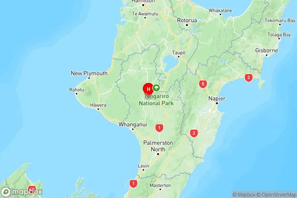
NZ Island
North IslandCountry
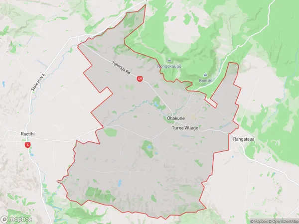
Ohakune Area Map (Polygon)

Name
OhakuneAdditional Name
Makaranui, Turoa VillageLocal Authority
Ruapehu District
Ohakune Suburbs (Sort by Population)
Ohakune Suburbs (Sort in alphabetical)
Rangataua
