Waimarino Area, Waimarino Postcode & Map in Waimarino
Waimarino Area, Waimarino Postcode & Map in Waimarino, Ruapehu District,
Waimarino, Ruapehu District,
Waimarino Area (estimated)
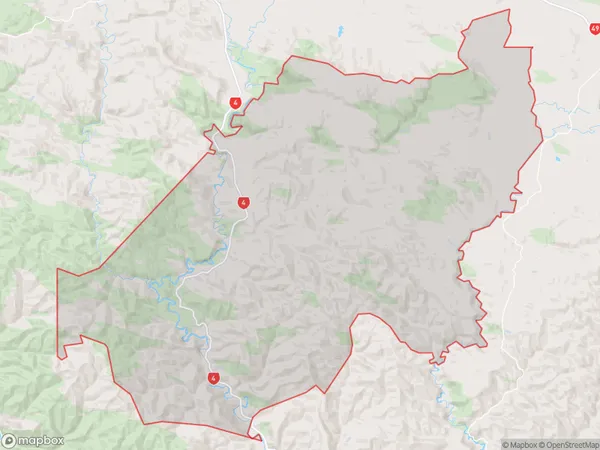
286.7 square kilometersWaimarino Population (estimated)
83 people live in Waimarino, Ohakune, NZWaimarino Suburb Area Map (Polygon)
Waimarino Introduction
Waimarino is a small rural town located in the Ohakune region of the Manawatu-Wanganui region in New Zealand. It is known for its scenic surroundings, including the Waimarino Forest Park, and for its popular mountain biking and hiking trails. The town has a population of around 1,000 people and is surrounded by farmland and native bush.Region
Major City
Suburb Name
WaimarinoOther Name(s)
OreoreWaimarino Area Map (Street)
Local Authority
Ruapehu DistrictFull Address
Waimarino, Ruapehu District,Address Type
Locality in Town OhakuneWaimarino Suburb Map (Satellite)
Country
Main Region in AU
Manawatu-WanganuiWaimarino Region Map
Coordinates
0,0 (latitude/longitude)Distances
The distance from Waimarino, Ohakune, Ruapehu District to NZ Top 10 Cities