Ohakune Area, Ohakune Postcode(4625) & Map in Ohakune
Ohakune Area, Ohakune Postcode(4625) & Map in Ohakune, Ruapehu District, New Zealand
Ohakune, Ruapehu District, New Zealand
Ohakune Area (estimated)
116.1 square kilometersOhakune Population (estimated)
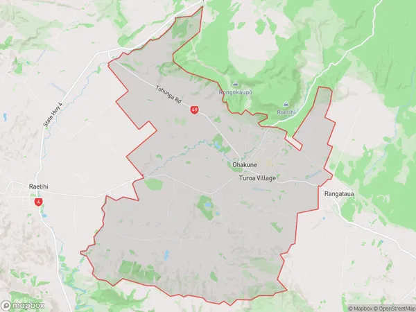
1786 people live in Ohakune, Manawatu-Wanganui, NZOhakune Suburb Area Map (Polygon)
Ohakune Introduction
Ohakune is a small town in the Manawatu-Wanganui region of New Zealand. It is well-known for its proximity to the Ohakune Mountain Railway, a popular tourist attraction that offers scenic rides through the forest. The town also has a variety of cafes, restaurants, and shops, as well as a community center and a hospital. Ohakune is surrounded by natural beauty, including the Tararua Forest and the Ohakune Mountain Range, and is a popular destination for outdoor enthusiasts and nature lovers.Region
Major City
Suburb Name
OhakuneOther Name(s)
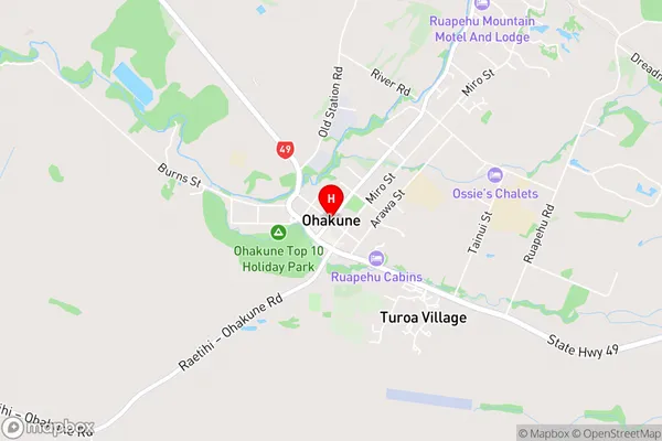
Makaranui, Turoa VillageOhakune Area Map (Street)
Local Authority
Ruapehu DistrictFull Address
Ohakune, Ruapehu District, New ZealandAddress Type
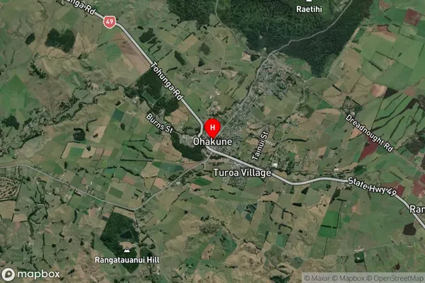
Suburb in Town OhakuneOhakune Suburb Map (Satellite)
Country
Main Region in AU
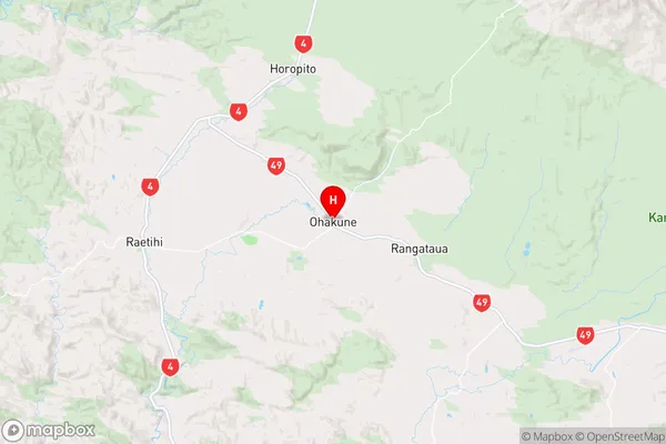
Manawatu-WanganuiOhakune Region Map
Coordinates
-39.4169455,175.3996126 (latitude/longitude)Distances
The distance from Ohakune, Ohakune, Ruapehu District to NZ Top 10 Cities