Kopuku Suburbs & Region, Kopuku Map & Postcodes in Kopuku, Pokeno, Waikato
Kopuku Postcodes, Kopuku ZipCodes, Kopuku , Kopuku Waikato, Kopuku Suburbs, Kopuku Region, Kopuku Map, Kopuku Area
Kopuku Region (Kopuhu Region)
Kopuku Suburbs
Kopuku is a suburb place type in Pokeno, Waikato, NZ. It contains 0 suburbs or localities.Kopuku Postcodes
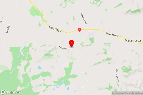
Kopuku Region Map
Kopuku Introduction
Kopuku is a small town in the Waikato region of New Zealand. It is located on the banks of the Waikato River, approximately 30 kilometers south of Hamilton. The town has a population of around 1,000 people and is known for its beautiful natural surroundings, including the Kopuku Reserve, a large area of native bush and wetlands. Kopuku is also home to a popular golf course, a bowling club, and a small supermarket. The town has a strong community spirit and is a popular destination for tourists and locals alike.Kopuku Region
Kopuku City
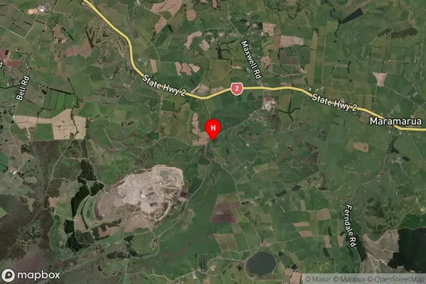
Kopuku Satellite Map
Full Address
Kopuku, Pokeno, WaikatoKopuku Coordinates
-37.256378,175.191014 (Latitude / Longitude)Kopuku Map in NZ
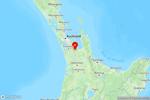
NZ Island
North IslandCountry
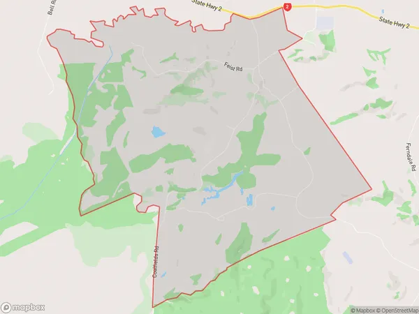
Kopuku Area Map (Polygon)
Name
KopukuAdditional Name
KopuhuLocal Authority
Waikato District
Kopuku Suburbs (Sort by Population)
Kopuku also known as Kopuhu. Kopuku suburb has around
25.5 square
kilometers.There are more than 84 people (estimated)
live in Kopuku, Pokeno, Waikato, New Zealand.