Pokeno Suburbs & Region, Pokeno Map & Postcodes in Pokeno, Waikato
Pokeno Postcodes, Pokeno ZipCodes, Pokeno , Pokeno Waikato, Pokeno Suburbs, Pokeno Region, Pokeno Map, Pokeno Area
Pokeno Region
Pokeno Suburbs
Pokeno is a city place type in Waikato, NZ. It contains 1 suburbs or localities.Pokeno Postcodes
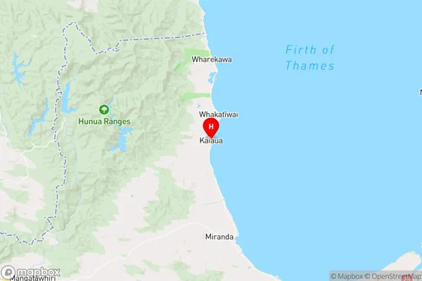
Pokeno Region Map
Pokeno Introduction
Pokeno is a small town in Waikato, New Zealand, located on the banks of the Waikato River. It is known for its fertile farmland and historic buildings, including the Pokeno Palace, a former royal residence. The town has a population of around 1,200 people and is a popular destination for tourists and locals alike. Pokeno also has a golf course, a swimming pool, and a variety of shops and cafes.Pokeno Region
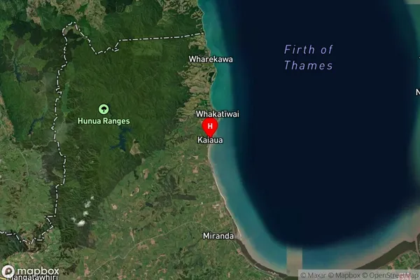
Pokeno Satellite Map
Full Address
Pokeno, WaikatoPokeno Coordinates
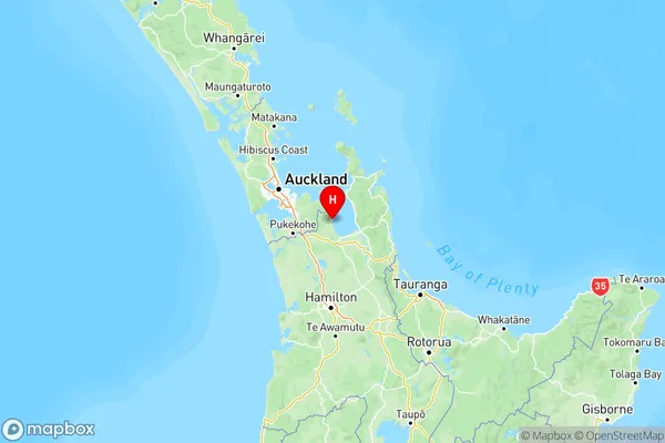
-37.108054,175.296182 (Latitude / Longitude)Pokeno Map in NZ
NZ Island
North IslandCountry
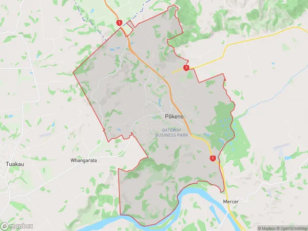
Pokeno Area Map (Polygon)
Name
PokenoAdditional Name
Local Authority
Waikato District
Pokeno Suburbs (Sort by Population)
Pokeno
Pokeno - 5618
Pokeno Suburbs (Sort in alphabetical)
Kopuku