Pokeno Area, Pokeno Postcode(2472) & Map in Pokeno
Pokeno Area, Pokeno Postcode(2472) & Map in Pokeno, Waikato District, New Zealand
Pokeno, Waikato District, New Zealand
Pokeno Area (estimated)
39.9 square kilometersPokeno Population (estimated)
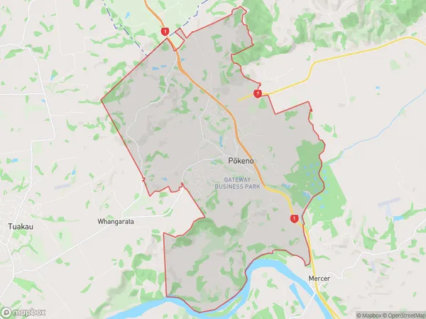
5618 people live in Pokeno, Waikato, NZPokeno Suburb Area Map (Polygon)
Pokeno Introduction
Pokeno is a small town in Waikato, New Zealand, with a population of around 1,500 people. It is well known for its green spaces, including the Pokeno Park and Reserve, and its rural atmosphere. The town is located on State Highway 1, approximately 30 minutes south of Hamilton, and is surrounded by farmland and picturesque countryside. Pokeno also has a golf course, a bowling club, and a community hall.Region
Major City
Suburb Name
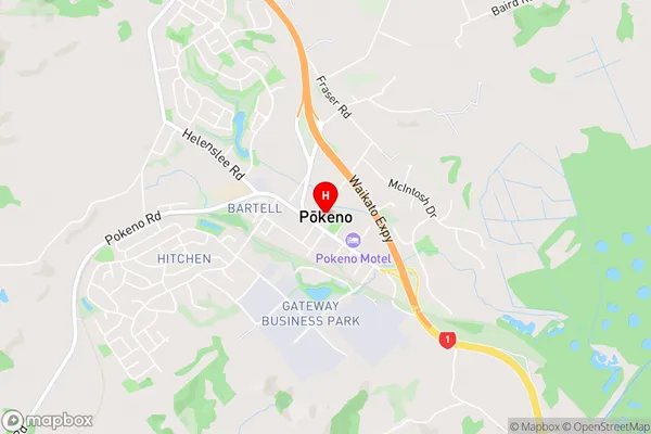
Pokeno (Maori Name: Pōkeno)Pokeno Area Map (Street)
Local Authority
Waikato DistrictFull Address
Pokeno, Waikato District, New ZealandAddress Type
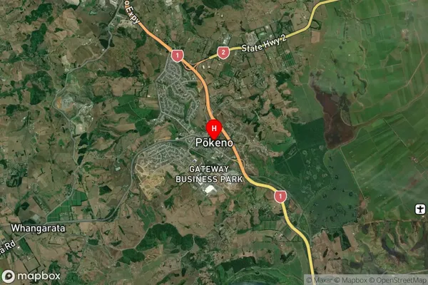
Locality in Town PokenoPokeno Suburb Map (Satellite)
Country
Main Region in AU
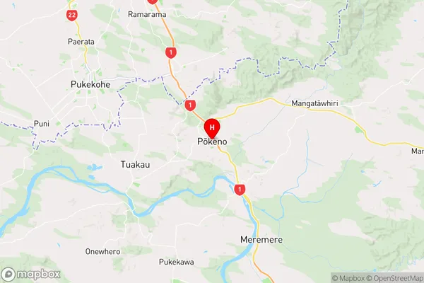
WaikatoPokeno Region Map
Coordinates
-37.244824,175.0219505 (latitude/longitude)Distances
The distance from Pokeno, Pokeno, Waikato District to NZ Top 10 Cities