Kopuku Area, Kopuku Postcode(2471) & Map in Kopuku
Kopuku Area, Kopuku Postcode(2471) & Map in Kopuku, Waikato District, New Zealand
Kopuku, Waikato District, New Zealand
Kopuku Postcodes
Kopuku Area (estimated)
25.5 square kilometersKopuku Population (estimated)
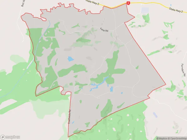
84 people live in Kopuku, Waikato, NZKopuku Suburb Area Map (Polygon)
Kopuku Introduction
Kopuku is a small rural community in the Waikato region of New Zealand. It is located on State Highway 1, approximately 30 minutes south of Hamilton. The area is known for its scenic countryside, with rolling hills and lush green fields. Kopuku has a population of around 100 people and is home to a primary school, a church, and a small convenience store. The community is surrounded by farmland and has a peaceful and tranquil atmosphere.Region
Major City
Suburb Name
KopukuOther Name(s)
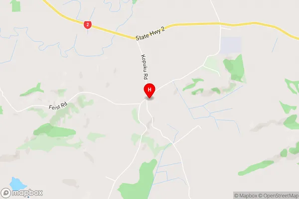
KopuhuKopuku Area Map (Street)
Local Authority
Waikato DistrictFull Address
Kopuku, Waikato District, New ZealandAddress Type
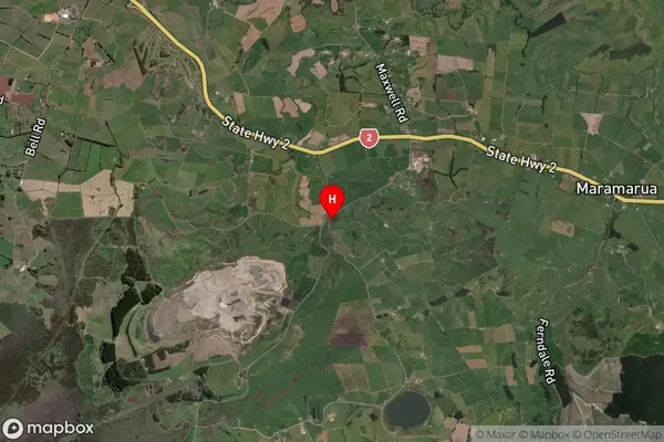
Locality in Major Locality MaramaruaKopuku Suburb Map (Satellite)
Country
Main Region in AU
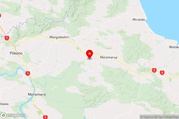
WaikatoKopuku Region Map
Coordinates
-37.256378,175.1910138 (latitude/longitude)Distances
The distance from Kopuku, Maramarua, Waikato District to NZ Top 10 Cities