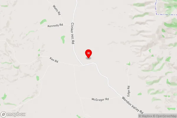
Wendon Valley Suburbs & Region, Wendon Valley Map & Postcodes in Wendon Valley, Gore, Southland
Wendon Valley Postcodes, Wendon Valley ZipCodes, Wendon Valley , Wendon Valley Southland, Wendon Valley Suburbs, Wendon Valley Region, Wendon Valley Map, Wendon Valley Area
Wendon Valley Region
Wendon Valley Suburbs
Wendon Valley is a suburb place type in Gore, Southland, NZ. It contains 0 suburbs or localities.Wendon Valley Postcodes
Wendon Valley Region Map

Wendon Valley Introduction
Wendon Valley is a small rural community located in the Southland region of New Zealand. It is situated in the southern part of the Southland District, approximately 12 kilometers south of Gore and 20 kilometers north of Winton. The area is known for its scenic landscapes, including rolling hills, lush green valleys, and picturesque rivers. The community has a population of around 100 people and is home to a variety of businesses, including a dairy farm, a convenience store, and a pub. The Wendon Valley is a popular destination for outdoor enthusiasts, with numerous hiking and tramping tracks in the surrounding area. The area is also home to the Wendon Forest Park, a large conservation area that is home to a variety of native plant and animal species.Wendon Valley Region
Wendon Valley City
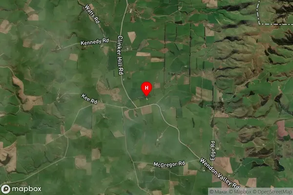
Wendon Valley Satellite Map

Full Address
Wendon Valley, Gore, SouthlandWendon Valley Coordinates
-45.881508,168.965564 (Latitude / Longitude)Wendon Valley Map in NZ

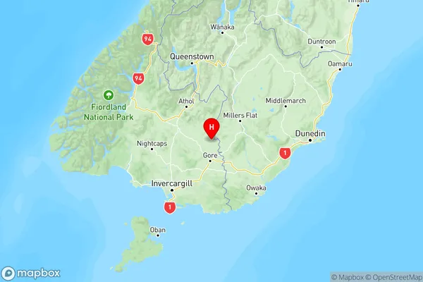
NZ Island
South IslandCountry
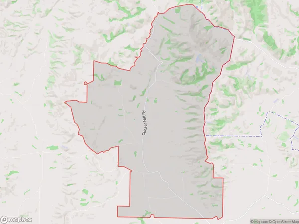
Wendon Valley Area Map (Polygon)

Name
Wendon ValleyAdditional Name
Local Authority
Gore District
Wendon Valley Suburbs (Sort by Population)
Wendon Valley suburb has around
95.5 square
kilometers.There are more than 71 people (estimated)
live in Wendon Valley, Gore, Southland, New Zealand.