Waipounamu Suburbs & Region, Waipounamu Map & Postcodes in Waipounamu, Gore, Southland
Waipounamu Postcodes, Waipounamu ZipCodes, Waipounamu , Waipounamu Southland, Waipounamu Suburbs, Waipounamu Region, Waipounamu Map, Waipounamu Area
Waipounamu Region (Pyramid Region)
Waipounamu Suburbs
Waipounamu is a suburb place type in Gore, Southland, NZ. It contains 0 suburbs or localities.Waipounamu Postcodes
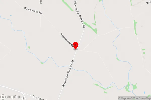
Waipounamu Region Map
Waipounamu Introduction
Waipounamu is a small town in Southland, New Zealand, located on the banks of the Waipounamu River. It is known for its stunning natural scenery, including the Southern Alps and the Fiordland National Park. The town has a population of around 1,000 people and is a popular destination for outdoor enthusiasts, with many opportunities for hiking, skiing, and fishing. The town also has a historic stone church and a museum that showcases the region's rich cultural heritage.Waipounamu Region
Waipounamu City
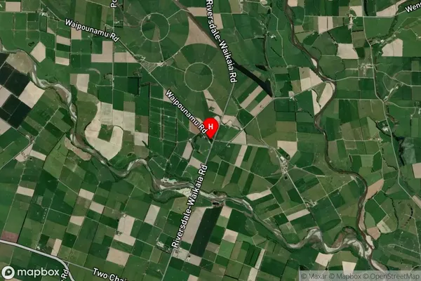
Waipounamu Satellite Map
Full Address
Waipounamu, Gore, SouthlandWaipounamu Coordinates
-45.8614,168.762592 (Latitude / Longitude)Waipounamu Map in NZ
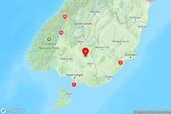
NZ Island
South IslandCountry
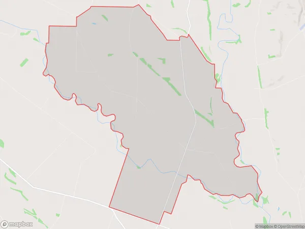
Waipounamu Area Map (Polygon)
Name
WaipounamuAdditional Name
PyramidLocal Authority
Southland District
Waipounamu Suburbs (Sort by Population)
Waipounamu also known as Pyramid. Waipounamu suburb has around
46.1 square
kilometers.There are more than 61 people (estimated)
live in Waipounamu, Gore, Southland, New Zealand.