Waipounamu Area, Waipounamu Postcode(9777) & Map in Waipounamu
Waipounamu Area, Waipounamu Postcode(9777) & Map in Waipounamu, Southland District, New Zealand
Waipounamu, Southland District, New Zealand
Waipounamu Postcodes
Waipounamu Area (estimated)
46.1 square kilometersWaipounamu Population (estimated)
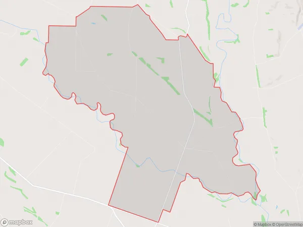
61 people live in Waipounamu, Southland, NZWaipounamu Suburb Area Map (Polygon)
Waipounamu Introduction
Waipounamu is a small rural community in Southland, New Zealand. It is located on the banks of the Waipounamu River, and is known for its scenic beauty and outdoor activities. The area has a rich history, with evidence of early Māori settlement dating back to around 1200 AD. The community is home to a variety of wildlife, including kea, tui, and kiwi. Waipounamu is also a popular destination for fishing, hiking, and hunting.Region
Major City
Suburb Name
WaipounamuOther Name(s)
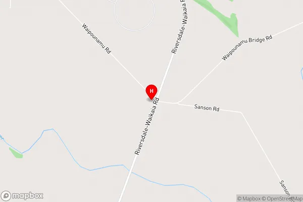
PyramidWaipounamu Area Map (Street)
Local Authority
Southland DistrictFull Address
Waipounamu, Southland District, New ZealandAddress Type
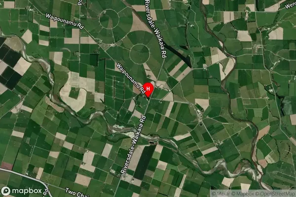
Locality in Town RiversdaleWaipounamu Suburb Map (Satellite)
Country
Main Region in AU
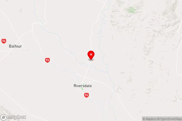
SouthlandWaipounamu Region Map
Coordinates
-45.8613998,168.7625918 (latitude/longitude)Distances
The distance from Waipounamu, Riversdale, Southland District to NZ Top 10 Cities