Awarua Plains Suburbs & Region, Awarua Plains Map & Postcodes in Awarua Plains, Invercargill, Southland
Awarua Plains Postcodes, Awarua Plains ZipCodes, Awarua Plains , Awarua Plains Southland, Awarua Plains Suburbs, Awarua Plains Region, Awarua Plains Map, Awarua Plains Area
Awarua Plains Region
Awarua Plains Suburbs
Awarua Plains is a suburb place type in Invercargill, Southland, NZ. It contains 0 suburbs or localities.Awarua Plains Postcodes
Awarua Plains Region Map

Awarua Plains Introduction
Awarua Plains is a large, flat area of land in Southland, New Zealand. It is located between the Southern Alps and the Pacific Ocean and is known for its scenic beauty, including rolling hills, tussock grasslands, and rivers. The area is home to a variety of wildlife, including deer, rabbits, and birds. Awarua Plains is also a popular destination for outdoor activities such as hiking, skiing, and fishing. The area has a rich history and was once home to the Māori people. The name "Awarua" means "long river" in Māori, and the plains were formed by the Awarua River. The river has since been dammed, creating a lake that is a popular spot for water-based activities.Awarua Plains Region
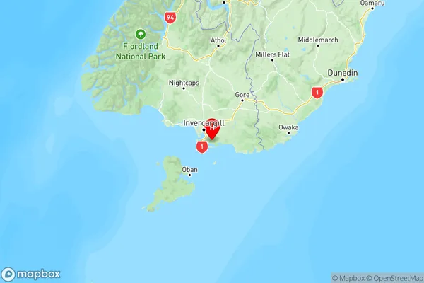
Awarua Plains City
Awarua Plains Satellite Map

Full Address
Awarua Plains, Invercargill, SouthlandAwarua Plains Coordinates
-46.53864,168.4734 (Latitude / Longitude)Awarua Plains Map in NZ

NZ Island
South IslandCountry
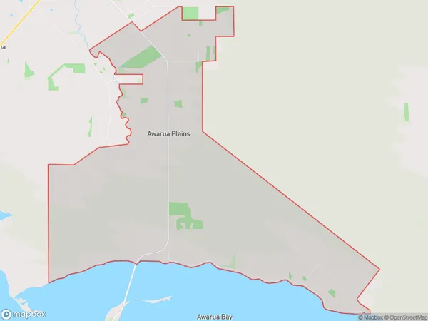
Awarua Plains Area Map (Polygon)

Name
Awarua PlainsAdditional Name
Local Authority
Invercargill City
Awarua Plains Suburbs (Sort by Population)
Awarua Plains suburb has around
47.8 square
kilometers.There are more than 46 people (estimated)
live in Awarua Plains, Invercargill City, Southland, New Zealand.