Awarua Plains Area, Awarua Plains Postcode(9877) & Map in Awarua Plains
Awarua Plains Area, Awarua Plains Postcode(9877) & Map in Awarua Plains, Invercargill City, New Zealand
Awarua Plains, Invercargill City, New Zealand
Awarua Plains Postcodes
Awarua Plains Area (estimated)
47.8 square kilometersAwarua Plains Population (estimated)
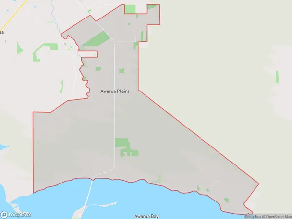
46 people live in Awarua Plains, Invercargill City, NZAwarua Plains Suburb Area Map (Polygon)
Awarua Plains Introduction
Awarua Plains is a large area of low-lying land in Southland, New Zealand. It is known for its wide range of wildlife, including tussock grasslands, wetlands, and forests. The plains are also home to the Awarua River, which flows through the area and provides a vital water source for the region. The area is popular with outdoor enthusiasts, including hunters, fishermen, and hikers, and is also home to several important historical sites, such as the Awarua Fortress, which was built in the 1860s to protect the region from Maori raids.Region
Major City
Suburb Name
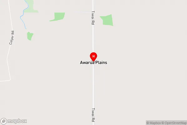
Awarua PlainsAwarua Plains Area Map (Street)
Local Authority
Invercargill CityFull Address
Awarua Plains, Invercargill City, New ZealandAddress Type
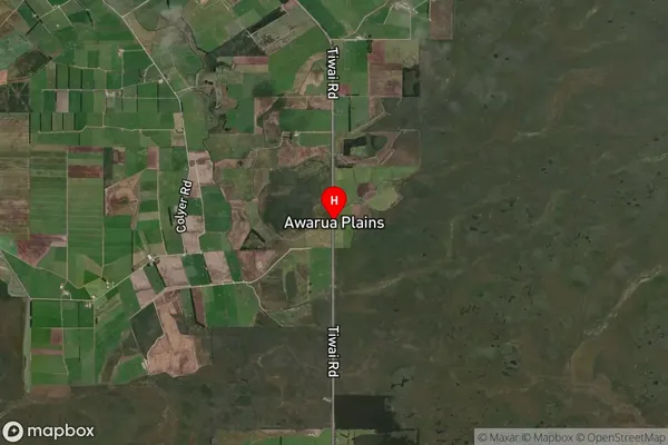
Locality in City InvercargillAwarua Plains Suburb Map (Satellite)
Country
Main Region in AU
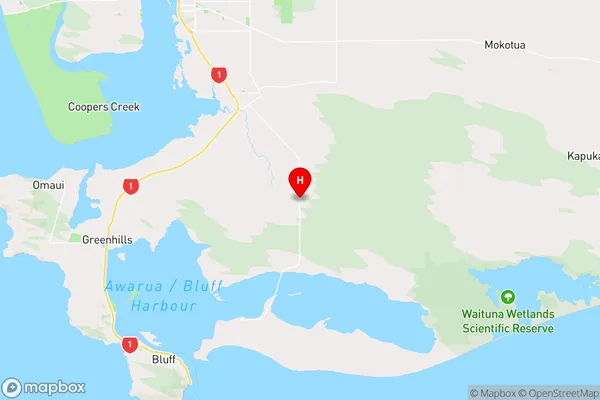
SouthlandAwarua Plains Region Map
Coordinates
-46.526111,168.433585 (latitude/longitude)Distances
The distance from Awarua Plains, Invercargill, Invercargill City to NZ Top 10 Cities