Saint Bathans Suburbs & Region, Saint Bathans Map & Postcodes in Saint Bathans, Central Otago, Central Otago / Lakes District, Otago, South Island, New Zealand
Saint Bathans Postcodes, Saint Bathans ZipCodes, Saint Bathans , Saint Bathans Otago, Saint Bathans Suburbs, Saint Bathans Region, Saint Bathans Map, Saint Bathans Area
Saint Bathans Region (Otago Goldfields, St Bathans Region)
Saint Bathans Suburbs
Saint Bathans is a suburb place type in Central Otago, Central Otago / Lakes District, Otago, South Island, New Zealand, NZ. It contains 2 suburbs or localities.Saint Bathans Postcodes
Saint Bathans district
Central OtagoSaint Bathans Introduction
Saint Bathans is a small rural community in Otago, New Zealand, located in the Central Otago District. It is known for its stunning natural scenery, including the Saint Bathans Mountains and the Blue Mountains. The community has a population of around 300 people and is home to a variety of businesses, including a hotel, a cafe, and a general store. The area is popular with outdoor enthusiasts, with many opportunities for hiking, skiing, and fishing. The Saint Bathans Scenic Reserve is a protected area that covers much of the surrounding countryside and is a popular destination for tourists.Saint Bathans Region
Saint Bathans City
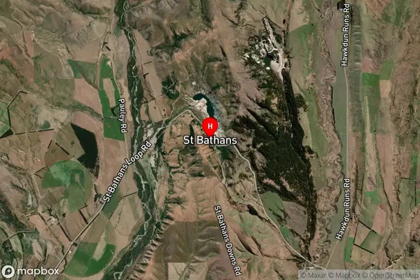
Saint Bathans Satellite Map

Full Address
Saint Bathans, Central Otago, Central Otago / Lakes District, Otago, South Island, New ZealandSaint Bathans Coordinates
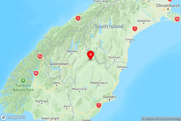
-44.871468,169.810419 (Latitude / Longitude)Saint Bathans Map in NZ

NZ Island
South IslandCountry
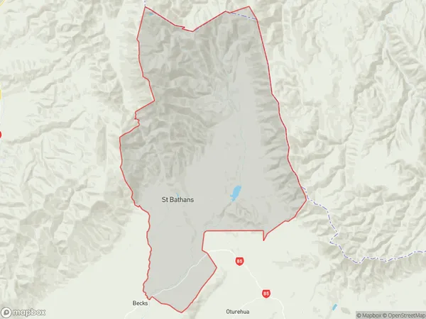
Saint Bathans Area Map (Polygon)

Name
Saint BathansAdditional Name
Otago Goldfields, St BathansLocal Authority
Central Otago District
Saint Bathans Suburbs (Sort by Population)
Saint Bathans
Saint Bathans - 82Hills Creek
Hills Creek - 20
