Hills Creek Area, Hills Creek Postcode & Map in Hills Creek
Hills Creek Area, Hills Creek Postcode & Map in Hills Creek, Central Otago District, New Zealand
Hills Creek, Central Otago District, New Zealand
Hills Creek Area (estimated)
50.3 square kilometersHills Creek Population (estimated)
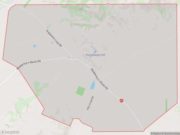
20 people live in Hills Creek, Otago, NZHills Creek Suburb Area Map (Polygon)
Hills Creek Introduction
Hills Creek is a small rural community located in Saint Bathans, Otago, New Zealand. It is situated in the Central Otago District and is surrounded by stunning mountain scenery. The area is known for its farming and forestry industries, with many residents working in these fields. The community has a primary school, a post office, and a small supermarket. Hills Creek is a peaceful and welcoming place to live, with a strong sense of community and a beautiful natural environment.Region
Major City
Suburb Name
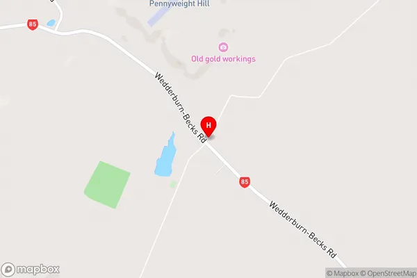
Hills CreekHills Creek Area Map (Street)
Local Authority
Central Otago DistrictFull Address
Hills Creek, Central Otago District, New ZealandAddress Type
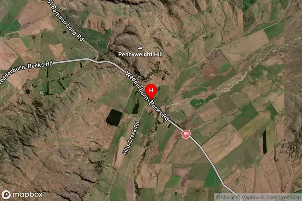
Locality in Major Locality Saint BathansHills Creek Suburb Map (Satellite)
Country
Main Region in AU
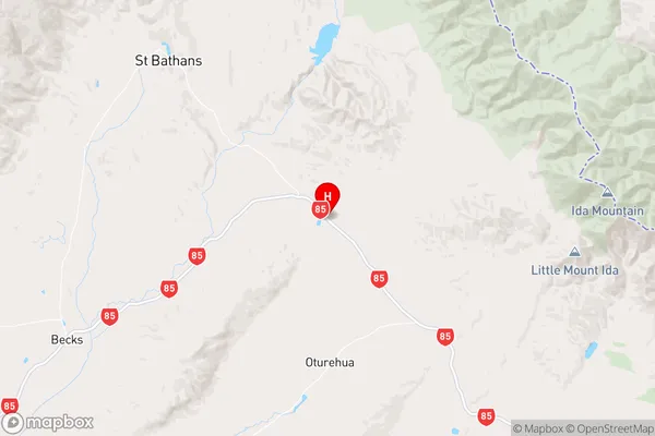
OtagoHills Creek Region Map
Coordinates
-44.9416858,169.9105167 (latitude/longitude)Distances
The distance from Hills Creek, Saint Bathans, Central Otago District to NZ Top 10 Cities