Saint Bathans Area, Saint Bathans Postcode(9386) & Map in Saint Bathans
Saint Bathans Area, Saint Bathans Postcode(9386) & Map in Saint Bathans, Central Otago District, New Zealand
Saint Bathans, Central Otago District, New Zealand
Saint Bathans Postcodes
Saint Bathans Area (estimated)
754.8 square kilometersSaint Bathans Population (estimated)
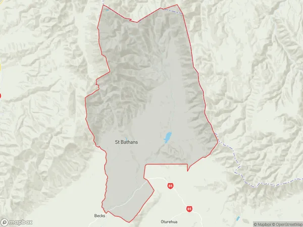
82 people live in Saint Bathans, Vincent Community, NZSaint Bathans Suburb Area Map (Polygon)
Saint Bathans Introduction
Saint Bathans is a small rural community in Otago, New Zealand, located in the Central Otago District. It is known for its stunning natural scenery, including the Saint Bathans Mountains and the Blue Mountains. The community has a population of around 50 people and is home to a variety of wildlife, including mountain lions, kea, and tui. The area is popular with outdoor enthusiasts and has a number of hiking and skiing trails.Region
Major City
Suburb Name
Saint BathansOther Name(s)
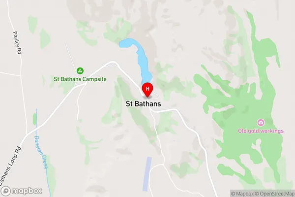
Otago Goldfields, St BathansSaint Bathans Area Map (Street)
Local Authority
Central Otago DistrictFull Address
Saint Bathans, Central Otago District, New ZealandAddress Type
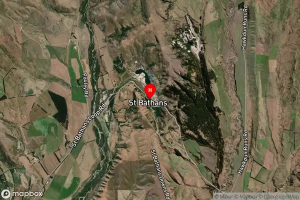
Locality in Major Locality Saint BathansSaint Bathans Suburb Map (Satellite)
Country
Main Region in AU
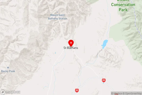
OtagoSaint Bathans Region Map
Coordinates
-44.8708134,169.8111508 (latitude/longitude)Distances
The distance from Saint Bathans, Saint Bathans, Central Otago District to NZ Top 10 Cities