Mata Suburbs & Region, Mata Map & Postcodes in Mata, Whangarei, Northland
Mata Postcodes, Mata ZipCodes, Mata , Mata Northland, Mata Suburbs, Mata Region, Mata Map, Mata Area
Mata Region
Mata Suburbs
Mata is a suburb place type in Whangarei, Northland, NZ. It contains 0 suburbs or localities.Mata Postcodes
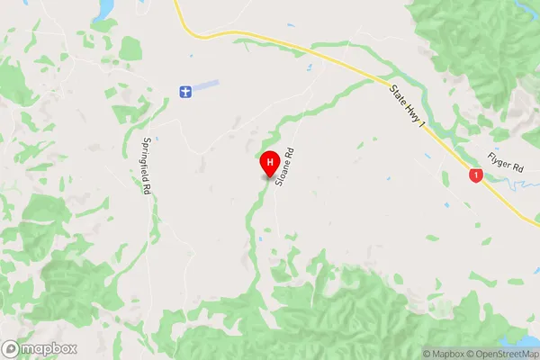
Mata Region Map
Mata Introduction
Mata, Northland, New Zealand, is a small rural community located in the Hokianga District of the North Island. It is situated on the banks of the Mata River and is known for its scenic beauty, including lush forests, waterfalls, and a picturesque river valley. The community has a population of around 100 people and is home to a primary school, a church, and a few small businesses. Mata is a popular destination for outdoor enthusiasts, with numerous hiking and cycling trails in the surrounding area. The community also hosts a annual music festival, which attracts musicians and music lovers from all over New Zealand.Mata Region
Mata City
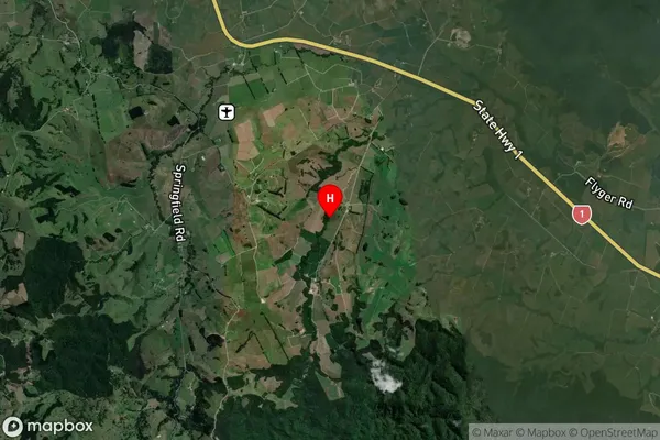
Mata Satellite Map
Full Address
Mata, Whangarei, NorthlandMata Coordinates
-35.874042,174.367069 (Latitude / Longitude)Mata Map in NZ
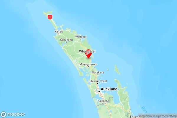
NZ Island
North IslandCountry
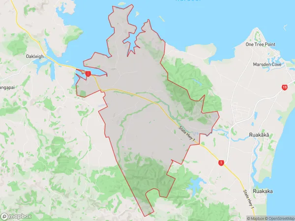
Mata Area Map (Polygon)
Name
MataAdditional Name
Local Authority
Whangarei District
Mata Suburbs (Sort by Population)
Mata suburb has around
54.6 square
kilometers.There are more than 266 people (estimated)
live in Mata, Whangarei, Northland, New Zealand.