Mata Area, Mata Postcode(0171) & Map in Mata
Mata Area, Mata Postcode(0171) & Map in Mata, Whangarei District, New Zealand
Mata, Whangarei District, New Zealand
Mata Postcodes
Mata Area (estimated)
54.6 square kilometersMata Population (estimated)
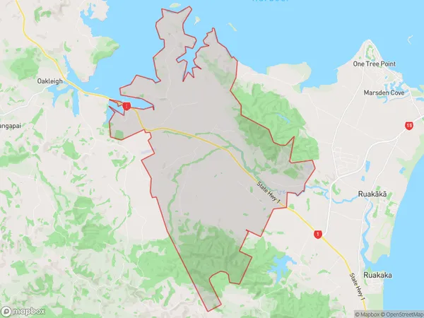
266 people live in Mata, Northland, NZMata Suburb Area Map (Polygon)
Mata Introduction
Mata, Whangarei, Northland, NZ, is a small rural town with a population of around 1,000 people. It is located on the banks of the Matauri Bay and is known for its beautiful beaches, lush forests, and stunning natural scenery. The town has a rich history and is home to several historic buildings, including the Matauri Bay Hall and the Matauri Museum. It is also a popular destination for outdoor enthusiasts, with many hiking and biking trails nearby.Region
Major City
Suburb Name
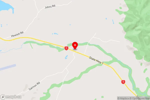
MataMata Area Map (Street)
Local Authority
Whangarei DistrictFull Address
Mata, Whangarei District, New ZealandAddress Type
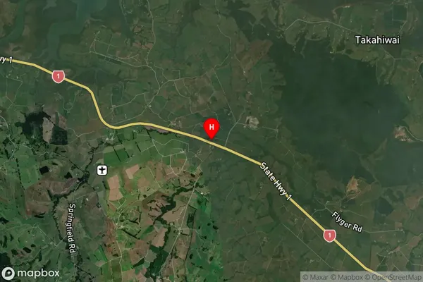
Suburb in City WhangareiMata Suburb Map (Satellite)
Country
Main Region in AU
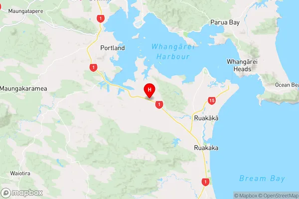
NorthlandMata Region Map
Coordinates
-35.854675,174.3776095 (latitude/longitude)Distances
The distance from Mata, Whangarei, Whangarei District to NZ Top 10 Cities