Manapouri Suburbs & Region, Manapouri Map & Postcodes in Manapouri, Southland, Southland
Manapouri Postcodes, Manapouri ZipCodes, Manapouri , Manapouri Southland, Manapouri Suburbs, Manapouri Region, Manapouri Map, Manapouri Area
Manapouri Region
Manapouri Suburbs
Manapouri is a suburb place type in Southland, Southland, NZ. It contains 4 suburbs or localities.Manapouri Postcodes
Manapouri district
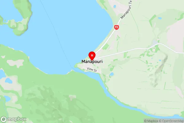
SouthlandManapouri Region Map
Manapouri Introduction
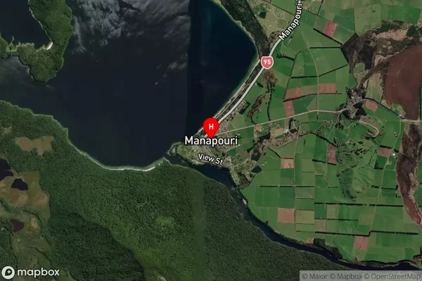
Manapouri is a small town in Southland, New Zealand, located on the banks of the Manapouri River. It is a popular destination for tourists who want to experience the natural beauty of the region, including the stunning Lake Te Anau and the Fiordland National Park. The town is also home to a power station that generates electricity for the South Island. Manapouri is a gateway to the wilderness and offers a range of outdoor activities, such as hiking, fishing, and kayaking.Manapouri Region
Manapouri City
Manapouri Satellite Map
Full Address
Manapouri, Southland, SouthlandManapouri Coordinates
-45.565147,167.613396 (Latitude / Longitude)Manapouri Map in NZ
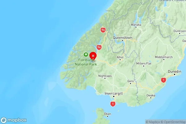
NZ Island
South IslandCountry
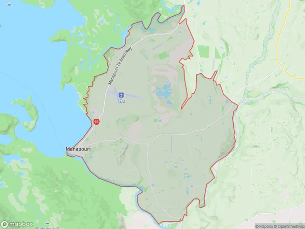
Manapouri Area Map (Polygon)
Name
ManapouriAdditional Name
Local Authority
Southland District
Manapouri Suburbs (Sort by Population)
Manapouri
Manapouri - 390The Key
The Key - 78Whare Creek
Whare Creek - 68Mount Hamilton
Mount Hamilton - 7