The Key Area, The Key Postcode(9672) & Map in The Key
The Key Area, The Key Postcode(9672) & Map in The Key, Southland District, New Zealand
The Key, Southland District, New Zealand
The Key Postcodes
The Key Area (estimated)
252.4 square kilometersThe Key Population (estimated)
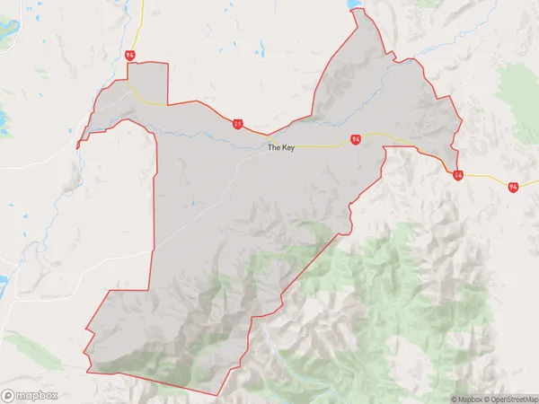
78 people live in The Key, Fiordland Community, NZThe Key Suburb Area Map (Polygon)
The Key Introduction
Manapouri is a small town in Southland, New Zealand, located on the banks of the Manapouri River. It is a popular destination for tourists who enjoy fishing, hiking, and water sports. The town is also home to the Manapouri Power Station, which is the largest hydroelectric power station in New Zealand.Region
Major City
Suburb Name
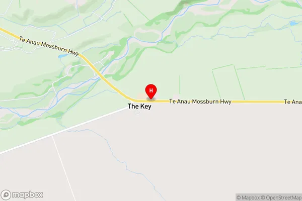
The KeyThe Key Area Map (Street)
Local Authority
Southland DistrictFull Address
The Key, Southland District, New ZealandAddress Type
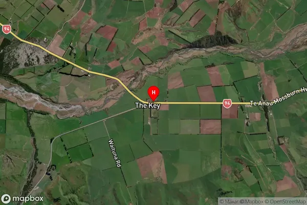
Locality in Major Locality ManapouriThe Key Suburb Map (Satellite)
Country
Main Region in AU
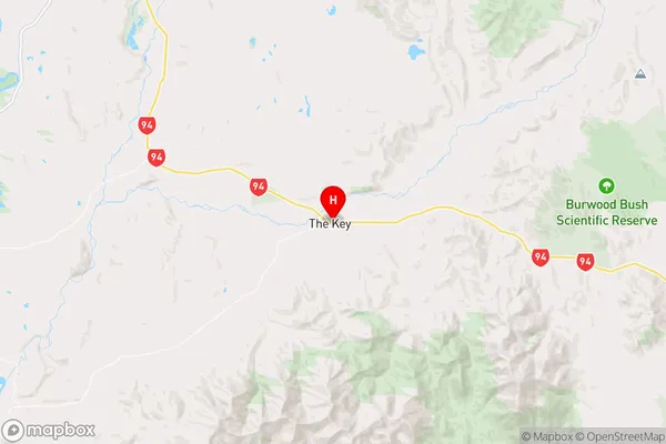
SouthlandThe Key Region Map
Coordinates
-45.5452711,167.8959309 (latitude/longitude)Distances
The distance from The Key, Manapouri, Southland District to NZ Top 10 Cities