Whare Creek Area, Whare Creek Postcode & Map in Whare Creek
Whare Creek Area, Whare Creek Postcode & Map in Whare Creek, Southland District,
Whare Creek, Southland District,
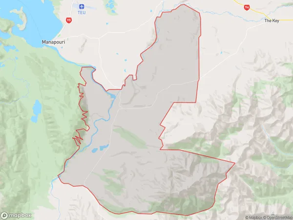
Whare Creek Area (estimated)
225.2 square kilometersWhare Creek Population (estimated)
68 people live in Whare Creek, Te Anau, NZWhare Creek Suburb Area Map (Polygon)
Whare Creek Introduction
Whare Creek is a small, shallow, and slow-moving stream located in the Manapouri region of Southland, New Zealand. It is a popular destination for outdoor enthusiasts, with a range of activities such as hiking, fishing, and kayaking available. The stream is fed by the Whare Creek Glacier and has a crystal-clear turquoise color, which is caused by the melting of glacial flour. The surrounding area is also home to a variety of wildlife, including kea, mountain goats, and tui.Region
Major City
Suburb Name
Whare CreekWhare Creek Area Map (Street)
Local Authority
Southland DistrictFull Address
Whare Creek, Southland District,Address Type
Locality in Major Locality ManapouriWhare Creek Suburb Map (Satellite)
Country
Main Region in AU
SouthlandWhare Creek Region Map
Coordinates
0,0 (latitude/longitude)Distances
The distance from Whare Creek, Manapouri, Southland District to NZ Top 10 Cities