Hedgehope Suburbs & Region, Hedgehope Map & Postcodes in Hedgehope, Southland, Southland
Hedgehope Postcodes, Hedgehope ZipCodes, Hedgehope , Hedgehope Southland, Hedgehope Suburbs, Hedgehope Region, Hedgehope Map, Hedgehope Area
Hedgehope Region
Hedgehope Suburbs
Hedgehope is a suburb place type in Southland, Southland, NZ. It contains 0 suburbs or localities.Hedgehope district
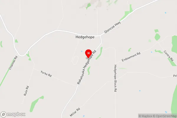
SouthlandHedgehope Region Map
Hedgehope Introduction
Hedgehope is a small rural community in Southland, New Zealand. It is located on the banks of the Mataura River and is known for its scenic views and peaceful atmosphere. The community has a primary school, a post office, a general store, and a few accommodation options for visitors. Hedgehope is a popular destination for outdoor enthusiasts, with nearby hiking and fishing trails and a range of recreational activities available in the surrounding area.Hedgehope Region
Hedgehope City
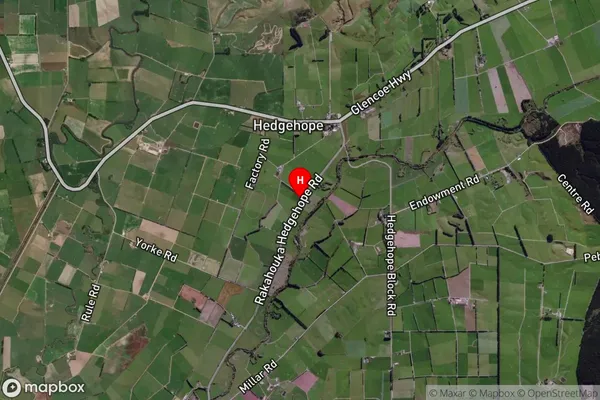
Hedgehope Satellite Map
Full Address
Hedgehope, Southland, SouthlandHedgehope Coordinates
-46.216197,168.540332 (Latitude / Longitude)Hedgehope Map in NZ
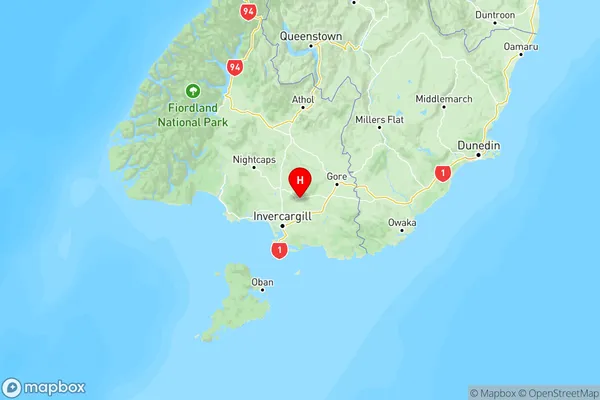
NZ Island
South IslandCountry