Hedgehope Area, Hedgehope Postcode & Map in Hedgehope
Hedgehope Area, Hedgehope Postcode & Map in Hedgehope, Southland District, New Zealand
Hedgehope, Southland District, New Zealand
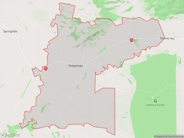
Hedgehope Area (estimated)
56.5 square kilometersHedgehope Population (estimated)
157 people live in Hedgehope, Oreti Community, NZHedgehope Suburb Area Map (Polygon)
Hedgehope Introduction
Hedgehope is a small rural community in Southland, New Zealand, located on State Highway 6 between Invercargill and Winton. It is known for its scenic views, historic buildings, and outdoor activities such as hiking, fishing, and hunting. The community has a school, a post office, a church, and a few small businesses. Hedgehope is also home to the Hedgehope Cheese Factory, which produces a variety of cheese products.Region
Major City
Suburb Name
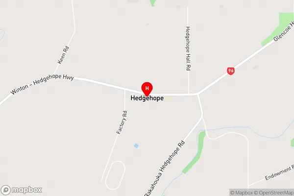
HedgehopeHedgehope Area Map (Street)
Local Authority
Southland DistrictFull Address
Hedgehope, Southland District, New ZealandAddress Type
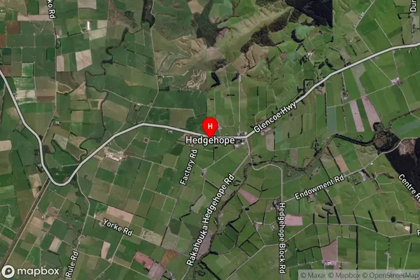
Locality in City InvercargillHedgehope Suburb Map (Satellite)
Country
Main Region in AU
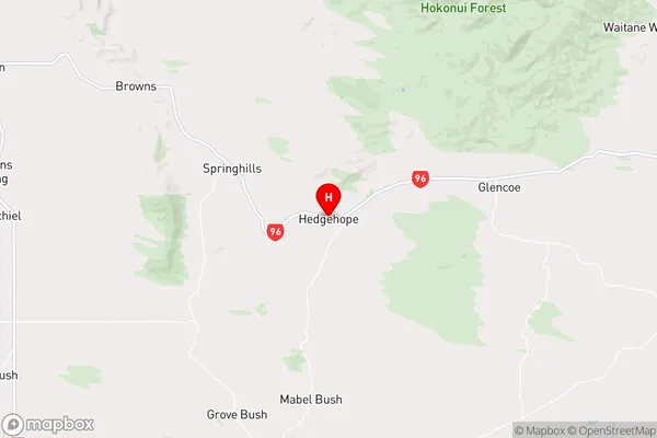
SouthlandHedgehope Region Map
Coordinates
-46.20732,168.53828 (latitude/longitude)Distances
The distance from Hedgehope, Invercargill, Southland District to NZ Top 10 Cities