Garston Suburbs & Region, Garston Map & Postcodes in Garston, Southland, Southland
Garston Postcodes, Garston ZipCodes, Garston , Garston Southland, Garston Suburbs, Garston Region, Garston Map, Garston Area
Garston Region
Garston Suburbs
Garston is a suburb place type in Southland, Southland, NZ. It contains 0 suburbs or localities.Garston district
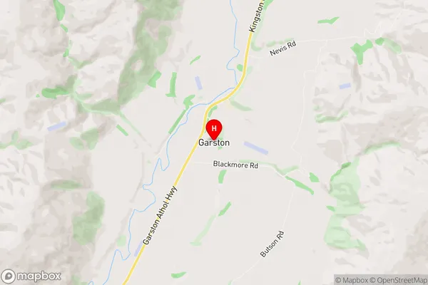
SouthlandGarston Region Map
Garston Introduction
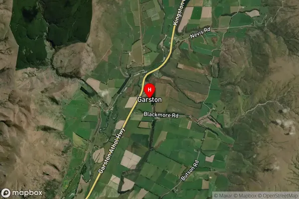
Garston is a small town in Southland, New Zealand, located on the banks of the Mataura River. It is known for its historic stone buildings and scenic surroundings, and is a popular tourist destination. The town was founded in 1876 and was named after the Garston family, who were early settlers in the area. Garston is home to a variety of businesses and services, including a hotel, a supermarket, and a medical center. The town also has a community hall, a library, and a sports complex. The Mataura River is a popular spot for fishing and boating, and the surrounding countryside is known for its scenic beauty and outdoor activities.Garston Region
Garston City
Garston Satellite Map
Full Address
Garston, Southland, SouthlandGarston Coordinates
-45.470515,168.685738 (Latitude / Longitude)Garston Map in NZ
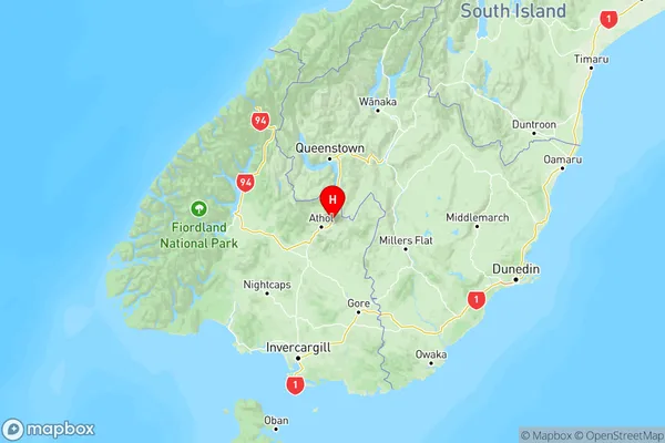
NZ Island
South IslandCountry
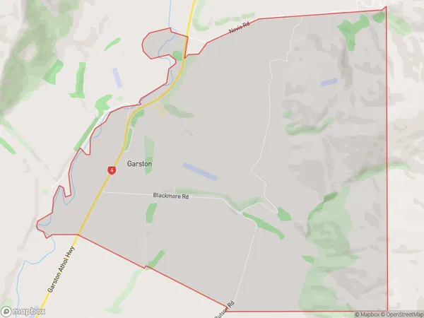
Garston Area Map (Polygon)
Name
GarstonAdditional Name
Local Authority
Southland District
Garston Suburbs (Sort by Population)
Garston suburb has around
15.6 square
kilometers.There are more than 39 people (estimated)
live in Garston, Northern Community, Southland, New Zealand.