Waimatua Suburbs & Region, Waimatua Map & Postcodes in Waimatua, Invercargill City, Southland
Waimatua Postcodes, Waimatua ZipCodes, Waimatua , Waimatua Southland, Waimatua Suburbs, Waimatua Region, Waimatua Map, Waimatua Area
Waimatua Region
Waimatua Suburbs
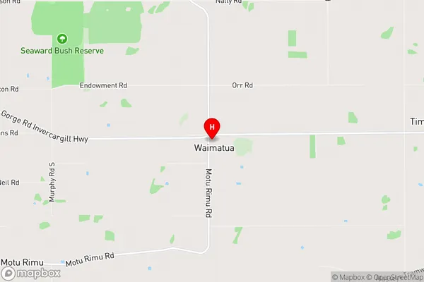
Waimatua is a suburb place type in Invercargill City, Southland, NZ. It contains 0 suburbs or localities.Waimatua Region Map
Waimatua Introduction
Waimatua is a small township in Southland, New Zealand, located on State Highway 6 between Gore and Te Anau. It is known for its scenic surroundings, including the Waimatua Forest Park, a popular hiking and mountain biking destination. The town also has a historic church, a pub, and a small museum. Waimatua is surrounded by farmland and has a population of around 100 people. The area is known for its rich cultural heritage, with several Maori settlements nearby. The town is also home to a variety of wildlife, including kea, tui, and kiwi.Waimatua Region
Waimatua City
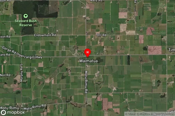
Waimatua Satellite Map
Full Address
Waimatua, Invercargill City, SouthlandWaimatua Coordinates
-46.451999,168.459473 (Latitude / Longitude)Waimatua Map in NZ
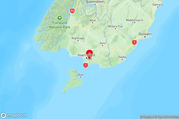
NZ Island
South IslandCountry
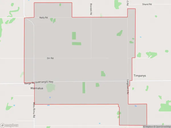
Waimatua Area Map (Polygon)
Name
WaimatuaAdditional Name
Local Authority
Southland District
Waimatua Suburbs (Sort by Population)
Waimatua suburb has around
19.0 square
kilometers.There are more than 86 people (estimated)
live in Waimatua, Waihopai Toetoe Community, Southland, New Zealand.