Waimatua Area, Waimatua Postcode & Map in Waimatua
Waimatua Area, Waimatua Postcode & Map in Waimatua, Southland District, New Zealand
Waimatua, Southland District, New Zealand
Waimatua Area (estimated)
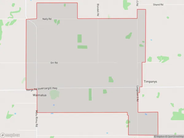
19.0 square kilometersWaimatua Population (estimated)
86 people live in Waimatua, Waihopai Toetoe Community, NZWaimatua Suburb Area Map (Polygon)
Waimatua Introduction
Waimatua is a small township in Southland, New Zealand, located on State Highway 6. It is known for its scenic beauty, including the Waimatua Forest Park and the Waimatua River. The area is popular with tourists and outdoor enthusiasts, who enjoy activities such as hiking, cycling, and fishing. Waimatua also has a historic steam train station, which is a popular attraction for visitors.Region
Major City
Suburb Name
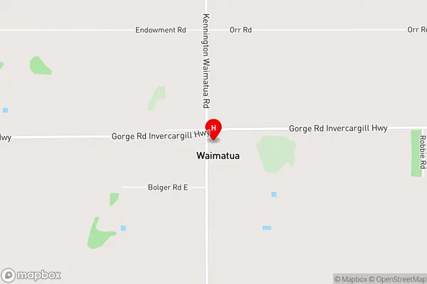
WaimatuaWaimatua Area Map (Street)
Local Authority
Southland DistrictFull Address
Waimatua, Southland District, New ZealandAddress Type
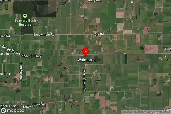
Locality in City InvercargillWaimatua Suburb Map (Satellite)
Country
Main Region in AU
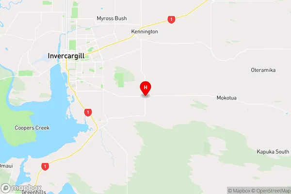
SouthlandWaimatua Region Map
Coordinates
-46.4519991,168.4594734 (latitude/longitude)Distances
The distance from Waimatua, Invercargill, Southland District to NZ Top 10 Cities