Mill Road Suburbs & Region, Mill Road Map & Postcodes in Mill Road, Invercargill City, Southland
Mill Road Postcodes, Mill Road ZipCodes, Mill Road , Mill Road Southland, Mill Road Suburbs, Mill Road Region, Mill Road Map, Mill Road Area
Mill Road Region
Mill Road Suburbs
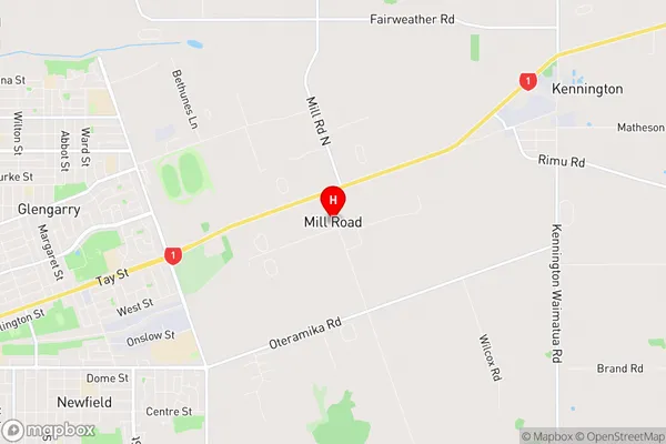
Mill Road is a suburb place type in Invercargill City, Southland, NZ. It contains 0 suburbs or localities.Mill Road Region Map
Mill Road Introduction
Mill Road is a street located in Southland, New Zealand. It is situated in the city of Invercargill and is part of the Southern Scenic Route. The road runs along the banks of the Mataura River and provides stunning views of the surrounding countryside. The street is home to a variety of businesses and services, including hotels, restaurants, and retail stores. It is also a popular destination for tourists who are exploring the Southland region. The road is well-maintained and has a wide carriageway, making it easy to drive and navigate. It is also a popular walking and cycling route, with many people enjoying the scenic views and peaceful atmosphere of the area.Mill Road Region
Mill Road City
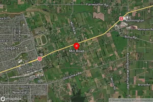
Mill Road Satellite Map
Full Address
Mill Road, Invercargill City, SouthlandMill Road Coordinates
-46.40232,168.41882 (Latitude / Longitude)Mill Road Map in NZ
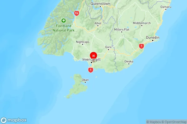
NZ Island
South IslandCountry
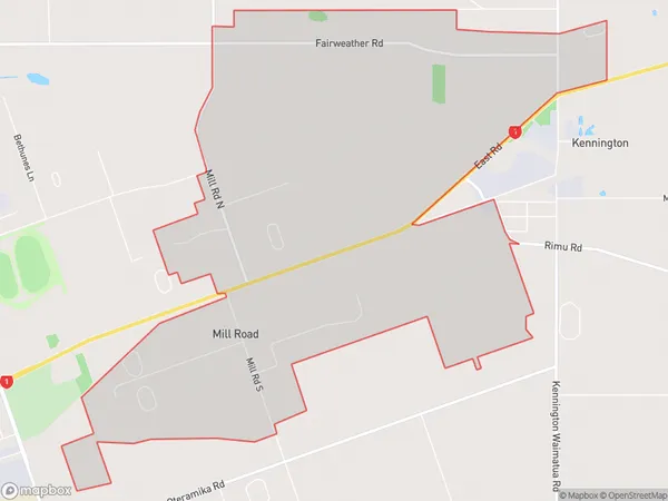
Mill Road Area Map (Polygon)
Name
Mill RoadAdditional Name
Local Authority
Invercargill City
Mill Road Suburbs (Sort by Population)
Mill Road suburb has around
10.7 square
kilometers.There are more than 424 people (estimated)
live in Mill Road, Invercargill City, Southland, New Zealand.