Mill Road Area, Mill Road Postcode(9872) & Map in Mill Road
Mill Road Area, Mill Road Postcode(9872) & Map in Mill Road, Invercargill City, New Zealand
Mill Road, Invercargill City, New Zealand
Mill Road Postcodes
Mill Road Area (estimated)
10.7 square kilometersMill Road Population (estimated)
424 people live in Mill Road, Invercargill City, NZMill Road Suburb Area Map (Polygon)
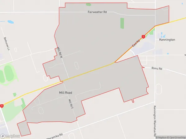
Mill Road Introduction
Mill Road is a street in Invercargill, Southland, New Zealand. It is located in the city's central business district and is known for its historic buildings and shops. The street runs parallel to the Southern Scenic Route and is home to many popular restaurants and cafes.Region
Major City
Suburb Name
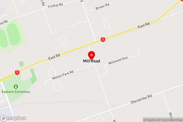
Mill RoadMill Road Area Map (Street)
Local Authority
Invercargill CityFull Address
Mill Road, Invercargill City, New ZealandAddress Type
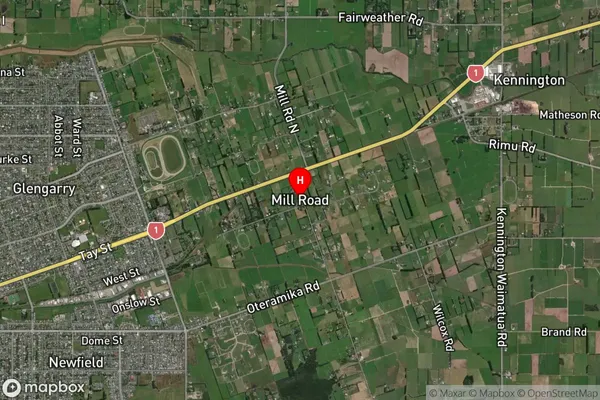
Locality in City InvercargillMill Road Suburb Map (Satellite)
Country
Main Region in AU
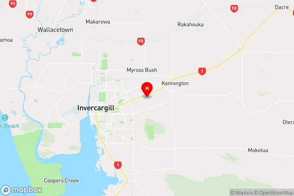
SouthlandMill Road Region Map
Coordinates
-46.40232,168.41882 (latitude/longitude)Distances
The distance from Mill Road, Invercargill, Invercargill City to NZ Top 10 Cities