Lorneville Suburbs & Region, Lorneville Map & Postcodes in Lorneville, Invercargill City, Southland
Lorneville Postcodes, Lorneville ZipCodes, Lorneville , Lorneville Southland, Lorneville Suburbs, Lorneville Region, Lorneville Map, Lorneville Area
Lorneville Region (Makarewa West Region)
Lorneville Suburbs
Lorneville is a suburb place type in Invercargill City, Southland, NZ. It contains 0 suburbs or localities.Lorneville Postcodes
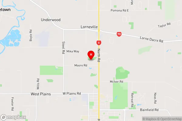
Lorneville Region Map
Lorneville Introduction
Lorneville is a small rural town in Southland, New Zealand. It is situated on the banks of the Lorne River and is surrounded by stunning natural scenery. The town has a population of around 300 people and is known for its friendly community and peaceful atmosphere. Lorneville is a popular destination for outdoor enthusiasts, with many opportunities for hiking, fishing, and hunting. The town also has a historic church and a small museum that showcases the area's rich history.Lorneville Region
Lorneville City
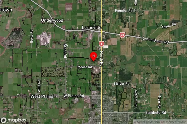
Lorneville Satellite Map
Full Address
Lorneville, Invercargill City, SouthlandLorneville Coordinates
-46.356242,168.342889 (Latitude / Longitude)Lorneville Map in NZ
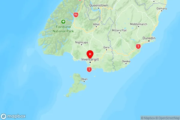
NZ Island
South IslandCountry
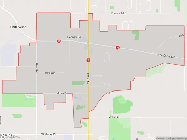
Lorneville Area Map (Polygon)
Name
LornevilleAdditional Name
Makarewa WestLocal Authority
Invercargill City, Southland District
Lorneville Suburbs (Sort by Population)
Lorneville also known as Makarewa West. Lorneville suburb has around
11.8 square
kilometers.There are more than 507 people (estimated)
live in Lorneville, Invercargill City, Southland, New Zealand.