Lorneville Area, Lorneville Postcode(9876) & Map in Lorneville, Invercargill City
Lorneville Area, Lorneville Postcode(9876) & Map in Lorneville, Invercargill City, Southland District, New Zealand
Lorneville, Invercargill City, Southland District, New Zealand
Lorneville Area (estimated)
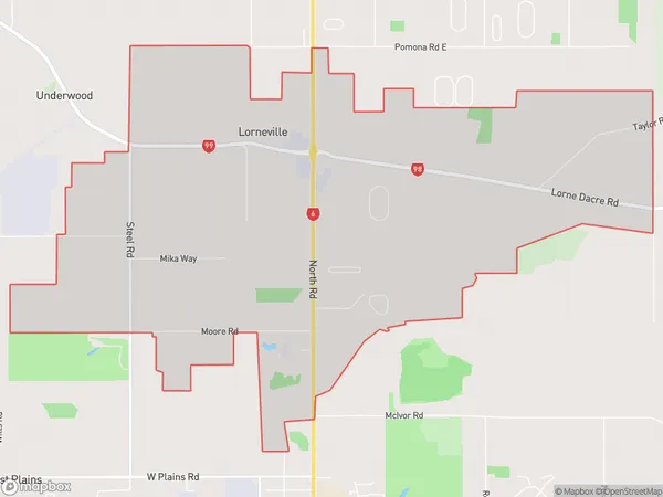
11.8 square kilometersLorneville Population (estimated)
507 people live in Lorneville, Invercargill City, NZLorneville Suburb Area Map (Polygon)
Lorneville Introduction
Lorneville is a small rural town in Southland, New Zealand, located on the banks of the Lorne River. It is known for its scenic surroundings, including the Lorne Alps and the Southern Alps. The town has a population of around 500 people and is a popular destination for outdoor enthusiasts, with many opportunities for hiking, skiing, and fishing.Region
Major City
Suburb Name
LornevilleOther Name(s)
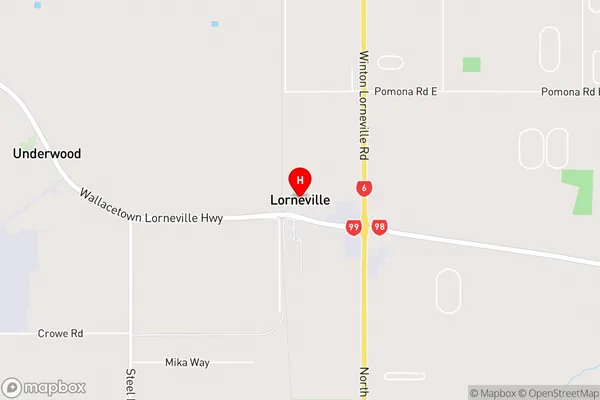
Makarewa WestLorneville Area Map (Street)
Local Authority
Invercargill City, Southland DistrictFull Address
Lorneville, Invercargill City, Southland District, New ZealandAddress Type
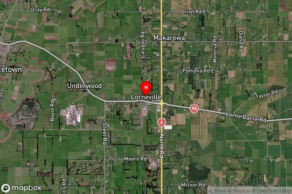
Suburb in City InvercargillLorneville Suburb Map (Satellite)
Country
Main Region in AU
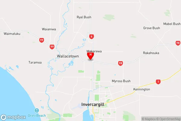
SouthlandLorneville Region Map
Coordinates
-46.3430493,168.3418264 (latitude/longitude)Distances
The distance from Lorneville, Invercargill, Invercargill City, Southland District to NZ Top 10 Cities