Hawthorndale Suburbs & Region, Hawthorndale Map & Postcodes in Hawthorndale, Invercargill City, Southland
Hawthorndale Postcodes, Hawthorndale ZipCodes, Hawthorndale , Hawthorndale Southland, Hawthorndale Suburbs, Hawthorndale Region, Hawthorndale Map, Hawthorndale Area
Hawthorndale Region (Turnbull Thomson Region)
Hawthorndale Suburbs
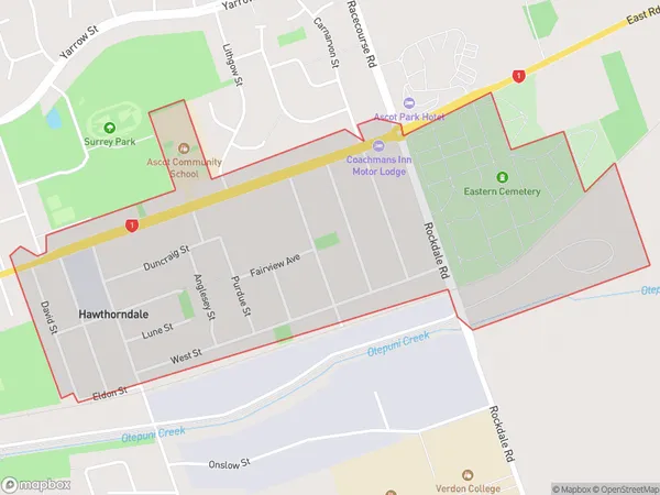
Hawthorndale is a suburb place type in Invercargill City, Southland, NZ. It contains 0 suburbs or localities.Hawthorndale Region Map

Hawthorndale Introduction
Hawthorndale is a small rural community in Southland, New Zealand. It is located on the banks of the Clutha River and is known for its picturesque scenery, friendly locals, and traditional Maori culture. The area has a rich history, with early European settlers arriving in the 1860s. The community today is a popular tourist destination, with visitors coming to explore the historic buildings, walk the scenic trails, and enjoy the local cuisine.Hawthorndale Region
Hawthorndale City
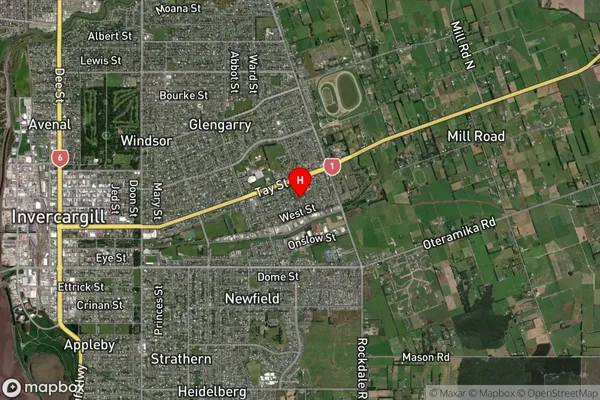
Hawthorndale Satellite Map
Full Address
Hawthorndale, Invercargill City, SouthlandHawthorndale Coordinates
-46.409879,168.388592 (Latitude / Longitude)Hawthorndale Map in NZ
NZ Island
South IslandCountry
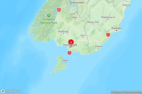
Hawthorndale Area Map (Polygon)
Name
HawthorndaleAdditional Name
Turnbull ThomsonLocal Authority
Invercargill City
Hawthorndale Suburbs (Sort by Population)
Hawthorndale also known as Turnbull Thomson. Hawthorndale suburb has around
1.3 square
kilometers.There are more than 1536 people (estimated)
live in Hawthorndale, Invercargill City, Southland, New Zealand.