Hawthorndale Area, Hawthorndale Postcode(9812) & Map in Hawthorndale
Hawthorndale Area, Hawthorndale Postcode(9812) & Map in Hawthorndale, Invercargill City, New Zealand
Hawthorndale, Invercargill City, New Zealand
Hawthorndale Area (estimated)
1.3 square kilometersHawthorndale Population (estimated)
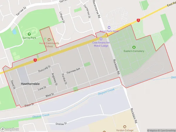
1536 people live in Hawthorndale, Invercargill City, NZHawthorndale Suburb Area Map (Polygon)
Hawthorndale Introduction
Hawthorndale is a small rural community in Southland, New Zealand. It is located on the banks of the Clutha River, approximately 10 kilometers south of Invercargill. The area is known for its scenic countryside, with rolling hills, lush green fields, and picturesque views of the river. The community has a primary school, a post office, a small supermarket, and a few cafes and restaurants. Hawthorndale is a popular destination for outdoor enthusiasts, with numerous hiking and cycling trails in the surrounding area. The community also hosts the annual Hawthorndale Agricultural and Pastoral Show, which is a major event in the region.Region
Major City
Suburb Name
HawthorndaleOther Name(s)
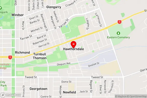
Turnbull ThomsonHawthorndale Area Map (Street)
Local Authority
Invercargill CityFull Address
Hawthorndale, Invercargill City, New ZealandAddress Type
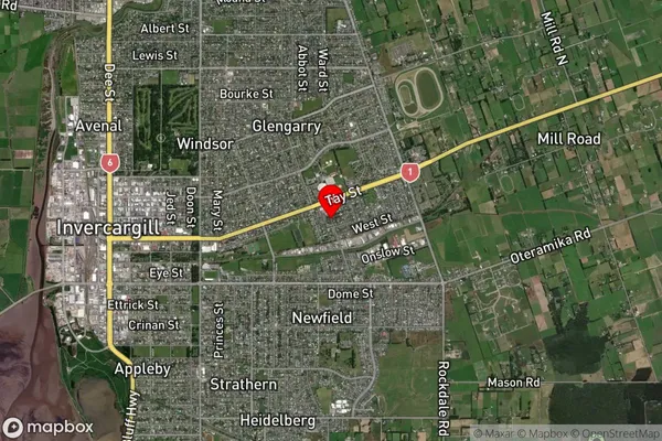
Suburb in City InvercargillHawthorndale Suburb Map (Satellite)
Country
Main Region in AU
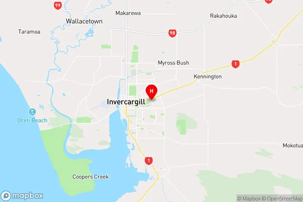
SouthlandHawthorndale Region Map
Coordinates
-46.4111,168.3817899 (latitude/longitude)Distances
The distance from Hawthorndale, Invercargill, Invercargill City to NZ Top 10 Cities