Glengarry Suburbs & Region, Glengarry Map & Postcodes in Glengarry, Invercargill City, Southland
Glengarry Postcodes, Glengarry ZipCodes, Glengarry , Glengarry Southland, Glengarry Suburbs, Glengarry Region, Glengarry Map, Glengarry Area
Glengarry Region (Turnbull Thomson Region)
Glengarry Suburbs
Glengarry is a suburb place type in Invercargill City, Southland, NZ. It contains 0 suburbs or localities.Glengarry Region Map

Glengarry Introduction
Glengarry, Southland, New Zealand, is a small rural community located in the southern region of the South Island. It is known for its scenic landscapes, including the rugged Southern Alps and the picturesque Glengarry Forest. The community is home to a small population of around 100 people and is surrounded by farmland and natural beauty. Glengarry is a popular destination for outdoor enthusiasts, with many hiking and skiing trails in the surrounding area. The community also has a historic church, a post office, and a small general store.Glengarry Region
Glengarry City
Glengarry Satellite Map
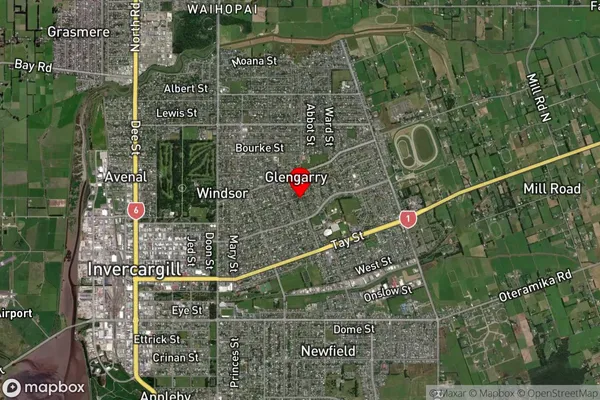
Full Address
Glengarry, Invercargill City, SouthlandGlengarry Coordinates
-46.403668,168.375551 (Latitude / Longitude)Glengarry Map in NZ
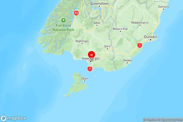
NZ Island
South IslandCountry
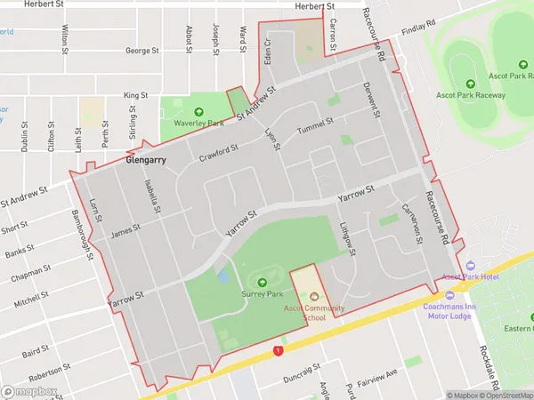
Glengarry Area Map (Polygon)
Name
GlengarryAdditional Name
Turnbull ThomsonLocal Authority
Invercargill City
Glengarry Suburbs (Sort by Population)
Glengarry also known as Turnbull Thomson. Glengarry suburb has around
2.0 square
kilometers.There are more than 3591 people (estimated)
live in Glengarry, Invercargill City, Southland, New Zealand.