Glengarry Area, Glengarry Postcode(9810) & Map in Glengarry
Glengarry Area, Glengarry Postcode(9810) & Map in Glengarry, Invercargill City, New Zealand
Glengarry, Invercargill City, New Zealand
Glengarry Area (estimated)
2.0 square kilometersGlengarry Population (estimated)
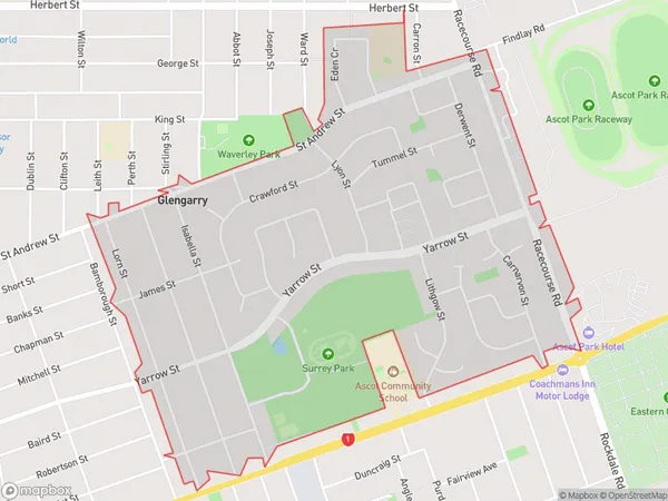
3591 people live in Glengarry, Invercargill City, NZGlengarry Suburb Area Map (Polygon)
Glengarry Introduction
Glengarry is a small rural community in Southland, New Zealand, located on the banks of the Clutha River. It is known for its scenic beauty, with rolling hills, lush green fields, and picturesque views of the surrounding countryside. The community has a population of around 100 people and is home to a variety of businesses, including a hotel, a farm, and a convenience store. Glengarry is also a popular destination for outdoor enthusiasts, with nearby hiking trails, fishing spots, and hunting grounds.Region
Major City
Suburb Name
GlengarryOther Name(s)
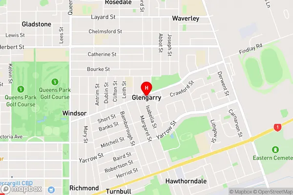
Turnbull ThomsonGlengarry Area Map (Street)
Local Authority
Invercargill CityFull Address
Glengarry, Invercargill City, New ZealandAddress Type
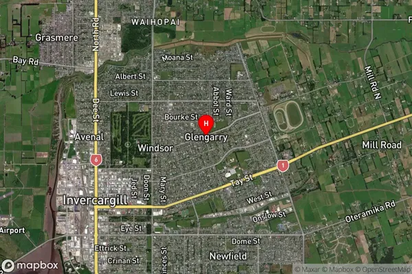
Suburb in City InvercargillGlengarry Suburb Map (Satellite)
Country
Main Region in AU
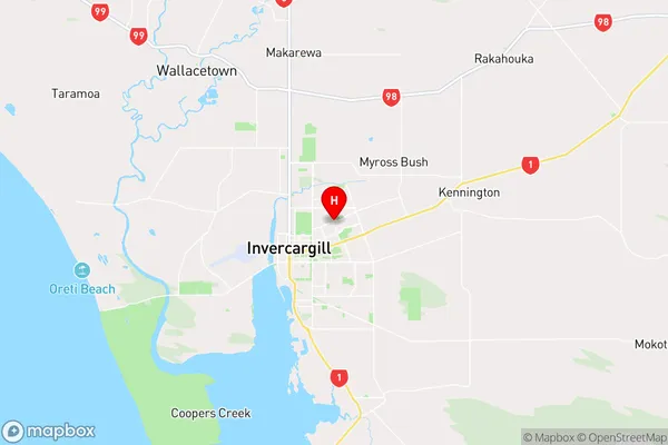
SouthlandGlengarry Region Map
Coordinates
-46.40095,168.37486 (latitude/longitude)Distances
The distance from Glengarry, Invercargill, Invercargill City to NZ Top 10 Cities