Georgetown Suburbs & Region, Georgetown Map & Postcodes in Georgetown, Invercargill City, Southland
Georgetown Postcodes, Georgetown ZipCodes, Georgetown , Georgetown Southland, Georgetown Suburbs, Georgetown Region, Georgetown Map, Georgetown Area
Georgetown Region
Georgetown Suburbs
Georgetown is a suburb place type in Invercargill City, Southland, NZ. It contains 0 suburbs or localities.Georgetown Postcodes
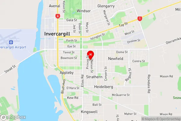
Georgetown Region Map
Georgetown Introduction
Georgetown is a small town in Southland, New Zealand, located on the banks of the Mataura River. It is known for its scenic surroundings, including the Mataura Forest and the surrounding mountains. The town has a population of around 1,000 people and is a popular tourist destination, particularly for those interested in outdoor activities such as hiking, skiing, and fishing. Georgetown also has a historic railway station and a number of heritage buildings.Georgetown Region
Georgetown City
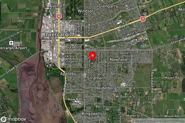
Georgetown Satellite Map
Full Address
Georgetown, Invercargill City, SouthlandGeorgetown Coordinates
-46.422284,168.366048 (Latitude / Longitude)Georgetown Map in NZ

NZ Island
South IslandCountry
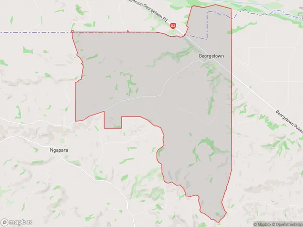
Georgetown Area Map (Polygon)
Name
GeorgetownAdditional Name
Local Authority
Waitaki District
Georgetown Suburbs (Sort by Population)
Georgetown suburb has around
53.3 square
kilometers.There are more than 133 people (estimated)
live in Georgetown, Invercargill, Otago, New Zealand.