Georgetown Area, Georgetown Postcode(9494) & Map in Georgetown
Georgetown Area, Georgetown Postcode(9494) & Map in Georgetown, Waitaki District, New Zealand
Georgetown, Waitaki District, New Zealand
Georgetown Postcodes
Georgetown Area (estimated)
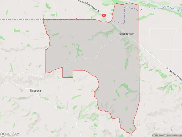
53.3 square kilometersGeorgetown Population (estimated)
133 people live in Georgetown, Otago, NZGeorgetown Suburb Area Map (Polygon)
Georgetown Introduction
Georgetown is a small coastal town in Otago, New Zealand, known for its historic buildings, beautiful beaches, and vibrant community. It is located about 45 minutes south of Oamaru and is a popular destination for tourists and locals alike. The town has a rich history, with many of its buildings dating back to the 1800s. It is also home to a large number of artists and craftspeople, who contribute to the town's unique character.Region
Major City
Suburb Name
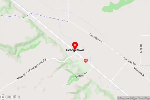
GeorgetownGeorgetown Area Map (Street)
Local Authority
Waitaki DistrictFull Address
Georgetown, Waitaki District, New ZealandAddress Type
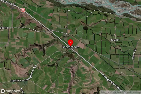
Locality in Town OamaruGeorgetown Suburb Map (Satellite)
Country
Main Region in AU
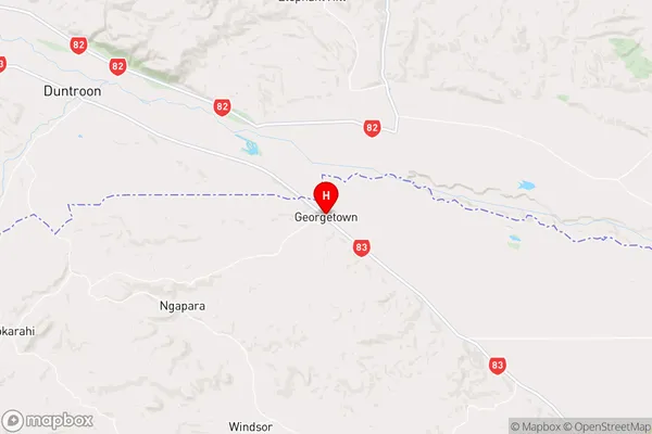
OtagoGeorgetown Region Map
Coordinates
-44.9104017,170.8435647 (latitude/longitude)Distances
The distance from Georgetown, Oamaru, Waitaki District to NZ Top 10 Cities