Pukerau Suburbs & Region, Pukerau Map & Postcodes in Pukerau, Gore, Southland
Pukerau Postcodes, Pukerau ZipCodes, Pukerau , Pukerau Southland, Pukerau Suburbs, Pukerau Region, Pukerau Map, Pukerau Area
Pukerau Region (Benio Region)
Pukerau Suburbs
Pukerau is a suburb place type in Gore, Southland, NZ. It contains 0 suburbs or localities.Pukerau Postcodes
Pukerau Region Map
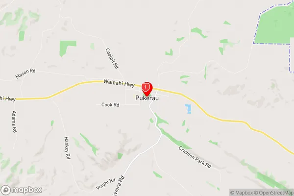
Pukerau Introduction
Pukerau is a small town in Southland, New Zealand, located on the southern shore of Lake Wakatipu. It is known for its stunning natural scenery, including the Pukerau Range and the surrounding lakes and rivers. The town has a population of around 2,000 people and is a popular destination for outdoor enthusiasts, with many opportunities for hiking, fishing, and skiing. Pukerau also has a historic steam locomotive station, which is a popular tourist attraction.Pukerau Region
Pukerau City
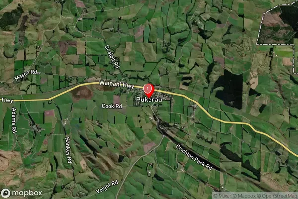
Pukerau Satellite Map
Full Address
Pukerau, Gore, SouthlandPukerau Coordinates
-46.098602,169.098397 (Latitude / Longitude)Pukerau Map in NZ
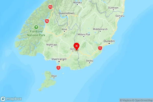
NZ Island
South IslandCountry
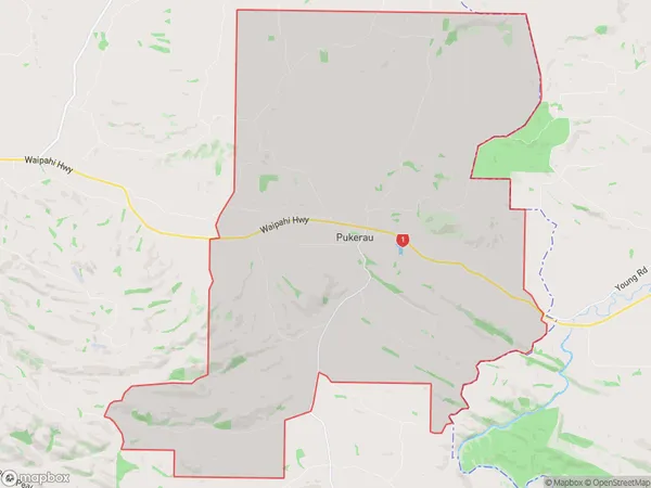
Pukerau Area Map (Polygon)
Name
PukerauAdditional Name
BenioLocal Authority
Gore District
Pukerau Suburbs (Sort by Population)
Pukerau also known as Benio. Pukerau suburb has around
93.5 square
kilometers.There are more than 250 people (estimated)
live in Pukerau, Gore, Southland, New Zealand.