West Eyreton Suburbs & Region, West Eyreton Map & Postcodes in West Eyreton, Waimakariri, Canterbury
West Eyreton Postcodes, West Eyreton ZipCodes, West Eyreton , West Eyreton Canterbury, West Eyreton Suburbs, West Eyreton Region, West Eyreton Map, West Eyreton Area
West Eyreton Region (Horrellville Region)
West Eyreton Suburbs
West Eyreton is a suburb place type in Waimakariri, Canterbury, NZ. It contains 2 suburbs or localities.West Eyreton Postcodes
West Eyreton district
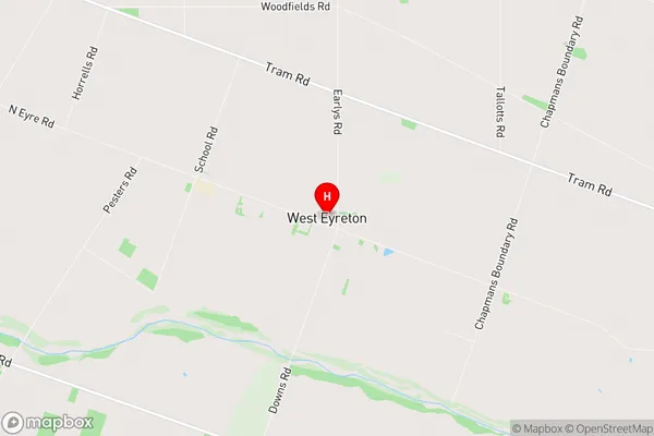
WaimakaririWest Eyreton Region Map
West Eyreton Introduction
West Eyreton is a small rural town located in Canterbury, New Zealand. It is situated on the banks of the Hurunui River and is approximately 10 kilometers south of Timaru. The town has a population of around 300 people and is known for its scenic surroundings, including the West Eyreton Forest Park and the West Eyreton Water Race. The town has a primary school, a post office, a convenience store, and a community hall. The surrounding area is popular for farming, with sheep and beef being the main crops. The town also has a number of historic buildings, including the West Eyreton Church and the West Eyreton Hotel.West Eyreton Region
West Eyreton City
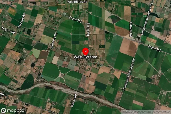
West Eyreton Satellite Map
Full Address
West Eyreton, Waimakariri, CanterburyWest Eyreton Coordinates
-43.352926,172.379908 (Latitude / Longitude)West Eyreton Map in NZ
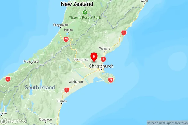
NZ Island
South IslandCountry
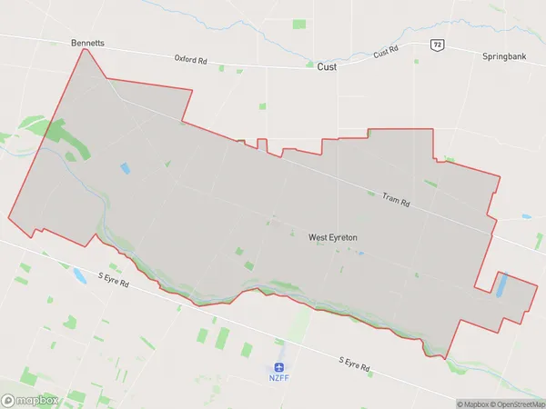
West Eyreton Area Map (Polygon)
Name
West EyretonAdditional Name
HorrellvilleLocal Authority
Waimakariri District
West Eyreton Suburbs (Sort by Population)
Eyrewell
Eyrewell - 1775West Eyreton
West Eyreton - 739