West Eyreton Area, West Eyreton Postcode(7575) & Map in West Eyreton
West Eyreton Area, West Eyreton Postcode(7575) & Map in West Eyreton, Waimakariri District, New Zealand
West Eyreton, Waimakariri District, New Zealand
West Eyreton Area (estimated)
72.4 square kilometersWest Eyreton Population (estimated)
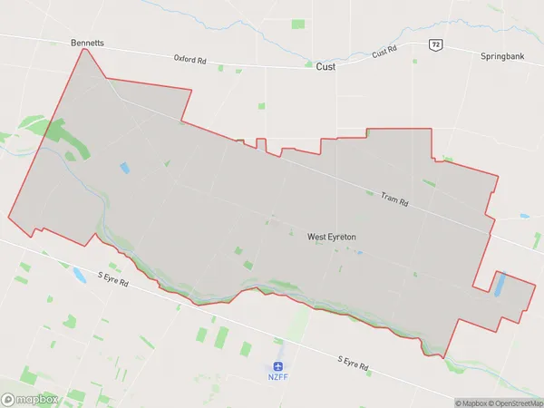
739 people live in West Eyreton, Canterbury, NZWest Eyreton Suburb Area Map (Polygon)
West Eyreton Introduction
West Eyreton is a small rural town located in the Canterbury region of New Zealand, known for its picturesque rural scenery and historic buildings. It is situated on the banks of the Ashley River and is home to a variety of agricultural businesses, including sheep and beef farming. The town also has a primary school, a post office, and a small community center.Region
Major City
Suburb Name
West EyretonOther Name(s)
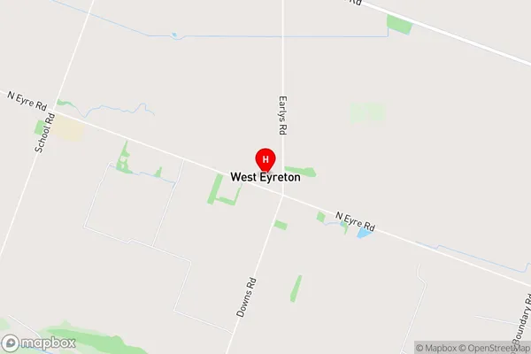
HorrellvilleWest Eyreton Area Map (Street)
Local Authority
Waimakariri DistrictFull Address
West Eyreton, Waimakariri District, New ZealandAddress Type
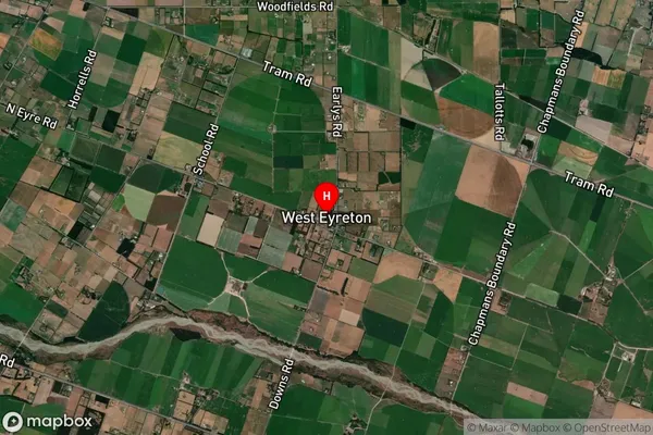
Locality in Town West EyretonWest Eyreton Suburb Map (Satellite)
Country
Main Region in AU
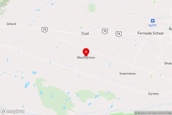
CanterburyWest Eyreton Region Map
Coordinates
-43.3529257,172.3799083 (latitude/longitude)Distances
The distance from West Eyreton, West Eyreton, Waimakariri District to NZ Top 10 Cities