Eyrewell Area, Eyrewell Postcode & Map in Eyrewell
Eyrewell Area, Eyrewell Postcode & Map in Eyrewell, Waimakariri District, New Zealand
Eyrewell, Waimakariri District, New Zealand
Eyrewell Area (estimated)
277.3 square kilometersEyrewell Population (estimated)
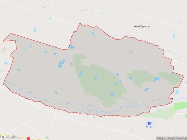
1775 people live in Eyrewell, Canterbury, NZEyrewell Suburb Area Map (Polygon)
Eyrewell Introduction
Eyrewell is a small rural community located in West Eyreton, Canterbury, New Zealand. It is known for its picturesque rural setting, with rolling hills, farmland, and picturesque rivers. The community has a primary school, a post office, and a small supermarket. Eyrewell is located approximately 20 minutes from Christchurch and is a popular destination for outdoor enthusiasts, with many hiking and biking trails nearby.Region
Major City
Suburb Name
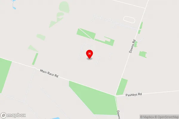
EyrewellEyrewell Area Map (Street)
Local Authority
Waimakariri DistrictFull Address
Eyrewell, Waimakariri District, New ZealandAddress Type
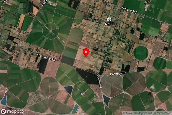
Locality in Town West EyretonEyrewell Suburb Map (Satellite)
Country
Main Region in AU
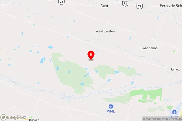
CanterburyEyrewell Region Map
Coordinates
-43.401239,172.347867 (latitude/longitude)Distances
The distance from Eyrewell, West Eyreton, Waimakariri District to NZ Top 10 Cities