Rotherham Suburbs & Region, Rotherham Map & Postcodes in Rotherham, Hurunui, Canterbury
Rotherham Postcodes, Rotherham ZipCodes, Rotherham , Rotherham Canterbury, Rotherham Suburbs, Rotherham Region, Rotherham Map, Rotherham Area
Rotherham Region
Rotherham Suburbs
Rotherham is a suburb place type in Hurunui, Canterbury, NZ. It contains 1 suburbs or localities.Rotherham Postcodes
Rotherham district
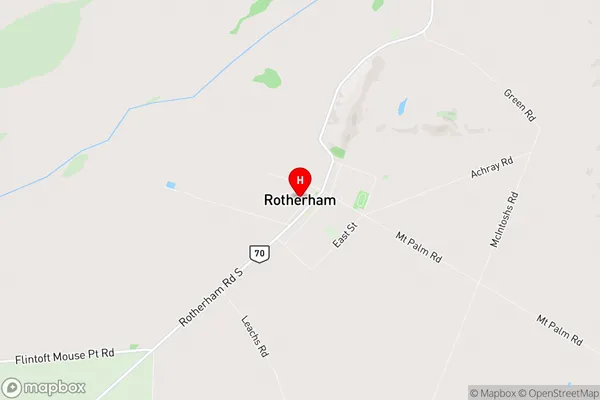
HurunuiRotherham Region Map
Rotherham Introduction
Rotherham is a small town located in the Canterbury region of New Zealand. It is situated on the banks of the Rakaia River and is known for its picturesque scenery, historic buildings, and friendly community. The town has a population of around 3,000 people and is home to a variety of businesses and services, including a supermarket, a hospital, and a primary school. Rotherham is also a popular destination for outdoor enthusiasts, with nearby parks and trails offering opportunities for hiking, biking, and fishing. The town is surrounded by stunning countryside and is only a short drive from Christchurch, the largest city in New Zealand.Rotherham Region
Rotherham City
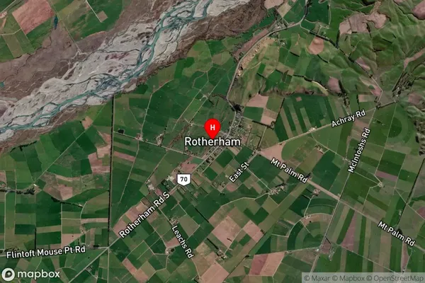
Rotherham Satellite Map
Full Address
Rotherham, Hurunui, CanterburyRotherham Coordinates
-42.697483,172.942657 (Latitude / Longitude)Rotherham Map in NZ
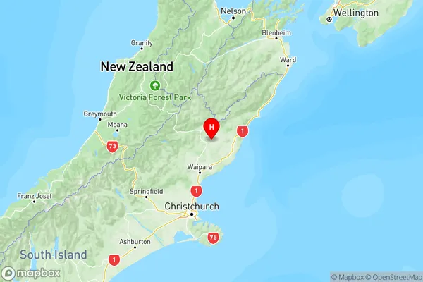
NZ Island
South IslandCountry
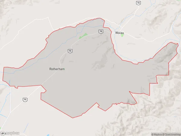
Rotherham Area Map (Polygon)
Name
RotherhamAdditional Name
Local Authority
Hurunui District
Rotherham Suburbs (Sort by Population)
Rotherham
Rotherham - 428