Culverden Suburbs & Region, Culverden Map & Postcodes in Culverden, Hurunui, Canterbury
Culverden Postcodes, Culverden ZipCodes, Culverden , Culverden Canterbury, Culverden Suburbs, Culverden Region, Culverden Map, Culverden Area
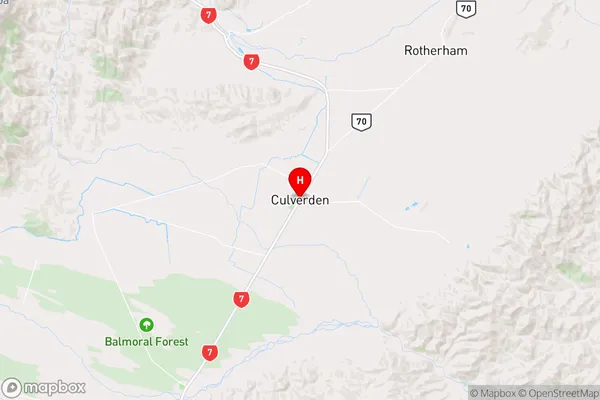
Culverden Region
Culverden Suburbs
Culverden is a city place type in Hurunui, Canterbury, NZ. It contains 3 suburbs or localities.Culverden Postcodes
Culverden district
HurunuiCulverden Introduction
Culverden is a small rural town located in the Canterbury region of New Zealand, approximately 100 kilometers south of Christchurch. It is known for its picturesque countryside, rich history, and vibrant community. The town is surrounded by stunning natural landscapes, including the Kaikoura Ranges, the Hurunui River, and the St. James Conservation Park. Culverden has a population of around 1,200 people and is home to a variety of businesses, including a supermarket, a hardware store, a pharmacy, and several cafes and restaurants. The town also has a community hall, a library, and a sports field, which are used for a range of recreational activities and events.Culverden Region
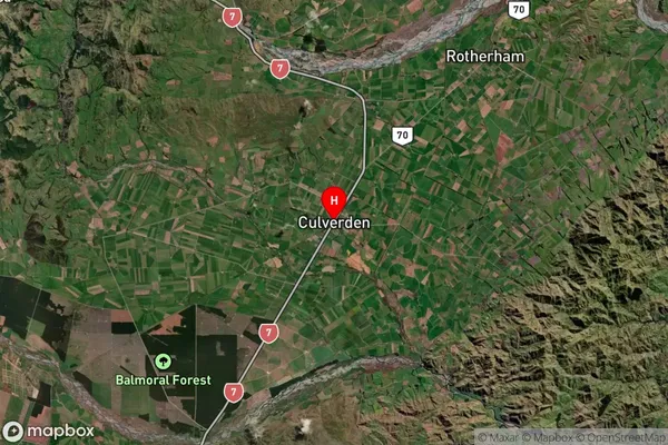
Culverden Satellite Map

Full Address
Culverden, Hurunui, CanterburyCulverden Coordinates
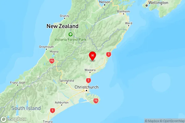
-42.772919,172.849335 (Latitude / Longitude)Culverden Map in NZ

NZ Island
South IslandCountry
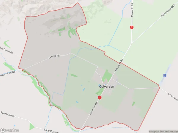
Culverden Area Map (Polygon)

Name
CulverdenAdditional Name
Local Authority
Hurunui District
Culverden Suburbs (Sort by Population)
Culverden
Culverden - 491Amuri Plain
Amuri Plain - 326Mount Culverden
Mount Culverden - 55
