Culverden Area, Culverden Postcode(7345) & Map in Culverden
Culverden Area, Culverden Postcode(7345) & Map in Culverden, Hurunui District, New Zealand
Culverden, Hurunui District, New Zealand
Culverden Postcodes
Culverden Area (estimated)
44.2 square kilometersCulverden Population (estimated)
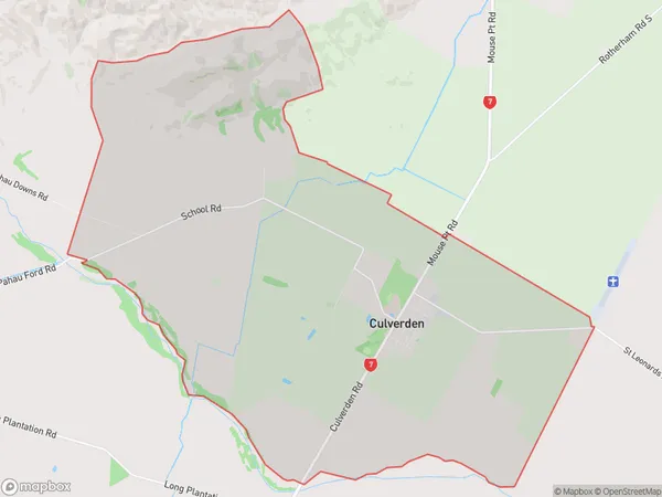
491 people live in Culverden, Canterbury, NZCulverden Suburb Area Map (Polygon)
Culverden Introduction
Culverden is a small rural town in Canterbury, New Zealand, located on the banks of the Waipara River. It is known for its beautiful countryside, historic buildings, and vibrant community. The town has a population of around 1,000 people and is a popular destination for tourists and locals alike. It is home to a variety of shops, cafes, and restaurants, as well as a community hall, library, and sports facilities.Region
Major City
Suburb Name
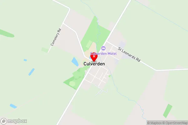
CulverdenCulverden Area Map (Street)
Local Authority
Hurunui DistrictFull Address
Culverden, Hurunui District, New ZealandAddress Type
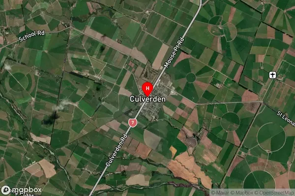
Locality in Major Locality CulverdenCulverden Suburb Map (Satellite)
Country
Main Region in AU
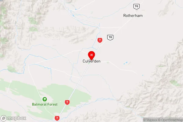
CanterburyCulverden Region Map
Coordinates
-42.7726605,172.8492958 (latitude/longitude)Distances
The distance from Culverden, Culverden, Hurunui District to NZ Top 10 Cities