Rotherham Area, Rotherham Postcode(7379) & Map in Rotherham
Rotherham Area, Rotherham Postcode(7379) & Map in Rotherham, Hurunui District, New Zealand
Rotherham, Hurunui District, New Zealand
Rotherham Area (estimated)
179.3 square kilometersRotherham Population (estimated)
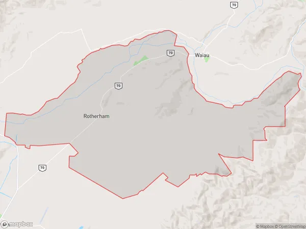
428 people live in Rotherham, Canterbury, NZRotherham Suburb Area Map (Polygon)
Rotherham Introduction
Rotherham is a town in the Canterbury region of New Zealand, located 12 kilometers south of Christchurch. It is known for its historic stone buildings and scenic surroundings, including the Rotherham Park and the Rotherham Lake. The town has a population of around 50,000 people and is home to several major industries, including manufacturing and agriculture.Region
Major City
Suburb Name
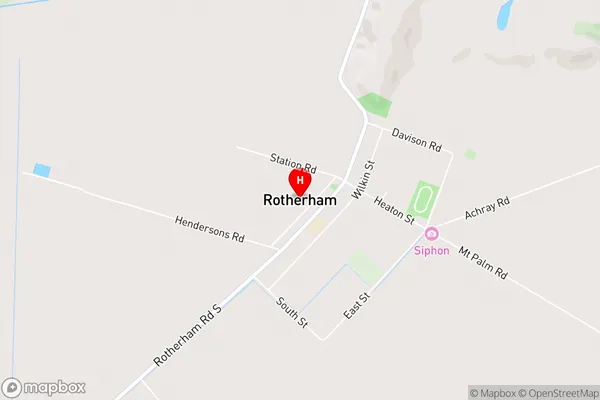
RotherhamRotherham Area Map (Street)
Local Authority
Hurunui DistrictFull Address
Rotherham, Hurunui District, New ZealandAddress Type
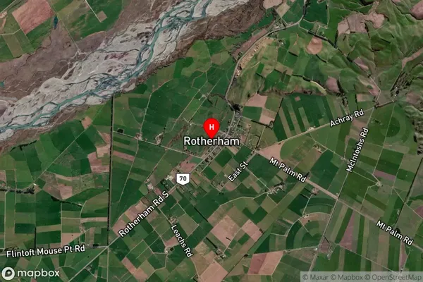
Locality in Major Locality RotherhamRotherham Suburb Map (Satellite)
Country
Main Region in AU
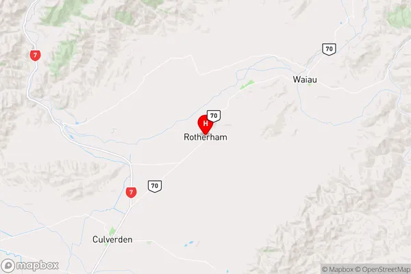
CanterburyRotherham Region Map
Coordinates
-42.6974828,172.9426569 (latitude/longitude)Distances
The distance from Rotherham, Rotherham, Hurunui District to NZ Top 10 Cities