Hundalee Suburbs & Region, Hundalee Map & Postcodes in Hundalee, Hurunui, Canterbury
Hundalee Postcodes, Hundalee ZipCodes, Hundalee , Hundalee Canterbury, Hundalee Suburbs, Hundalee Region, Hundalee Map, Hundalee Area
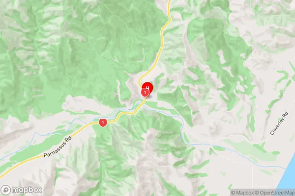
Hundalee Region (Claverley, Conway Region)
Hundalee Suburbs
Hundalee is a suburb place type in Hurunui, Canterbury, NZ. It contains 0 suburbs or localities.Hundalee district
HurunuiHundalee Region Map
Hundalee Introduction
Hundalee is a small rural community located in the Canterbury region of New Zealand. It is situated in the Ashburton District and is known for its picturesque rural setting, stunning landscapes, and friendly community. The area is home to a variety of agricultural businesses, including sheep farming and dairy farming, and is surrounded by beautiful countryside. Hundalee has a primary school, a post office, a community hall, and a small supermarket. The community is also home to a number of recreational facilities, including a golf course and a tennis court. Hundalee is a popular destination for tourists and locals alike, with its peaceful atmosphere and close proximity to the city of Christchurch.Hundalee Region
Hundalee City
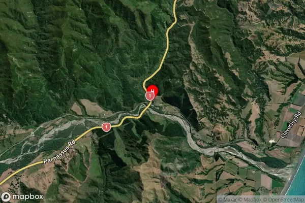
Hundalee Satellite Map
Full Address
Hundalee, Hurunui, CanterburyHundalee Coordinates
-42.59801,173.420214 (Latitude / Longitude)Hundalee Map in NZ
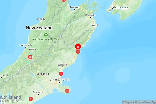
NZ Island
South IslandCountry
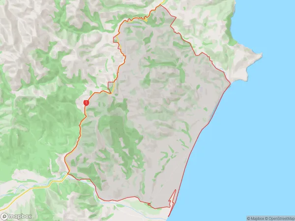
Hundalee Area Map (Polygon)
Name
HundaleeAdditional Name
Claverley, ConwayLocal Authority
Hurunui District
Hundalee Suburbs (Sort by Population)
Hundalee also known as Claverley, Conway. Hundalee suburb has around
39.0 square
kilometers.There are more than 51 people (estimated)
live in Hundalee, Cheviot, Canterbury, New Zealand.