Greta Valley Suburbs & Region, Greta Valley Map & Postcodes in Greta Valley, Hurunui, Canterbury
Greta Valley Postcodes, Greta Valley ZipCodes, Greta Valley , Greta Valley Canterbury, Greta Valley Suburbs, Greta Valley Region, Greta Valley Map, Greta Valley Area
Greta Valley Region
Greta Valley Suburbs
Greta Valley is a city place type in Hurunui, Canterbury, NZ. It contains 0 suburbs or localities.Greta Valley district
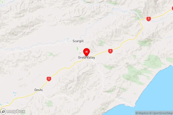
HurunuiGreta Valley Region Map
Greta Valley Introduction
Greta Valley is a picturesque rural community located in the Canterbury region of New Zealand. It is known for its stunning natural beauty, including rolling hills, picturesque farms, and the Greta River. The area is popular with outdoor enthusiasts, with many opportunities for hiking, biking, and fishing. The community has a strong sense of community and a variety of amenities, including a local school, a post office, and a convenience store. Greta Valley is also home to a number of historic buildings, including the Greta Valley Hotel and the Greta Valley Cheese Factory.Greta Valley Region
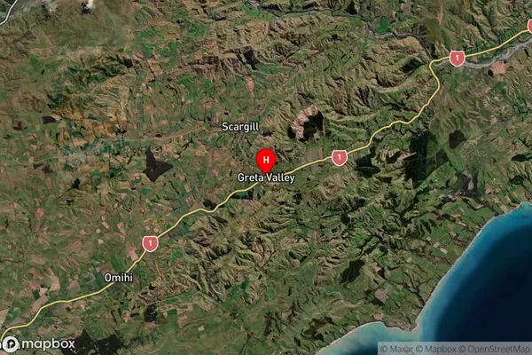
Greta Valley Satellite Map
Full Address
Greta Valley, Hurunui, CanterburyGreta Valley Coordinates
-42.964026,172.968294 (Latitude / Longitude)Greta Valley Map in NZ
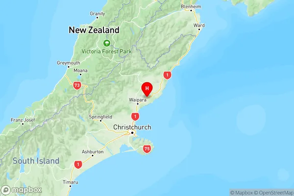
NZ Island
South IslandCountry