Motunau Area, Motunau Postcode & Map in Motunau
Motunau Area, Motunau Postcode & Map in Motunau, Hurunui District, New Zealand
Motunau, Hurunui District, New Zealand
Motunau Area (estimated)
215.1 square kilometersMotunau Population (estimated)
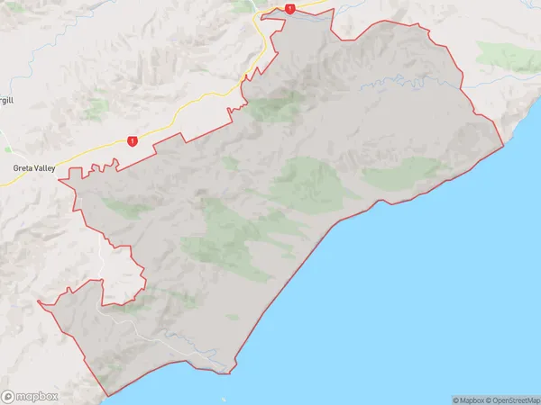
181 people live in Motunau, Canterbury, NZMotunau Suburb Area Map (Polygon)
Motunau Introduction
Motunau is a small rural community in the Greta Valley, Canterbury, New Zealand. It is located on the banks of the Rakaia River and is known for its scenic beauty and peaceful atmosphere. The community has a primary school, a post office, and a small supermarket. Motunau is a popular destination for outdoor enthusiasts, with many walking and hiking trails nearby. The area is also home to a number of farms, including sheep and beef farms.Region
Major City
Suburb Name
MotunauOther Name(s)
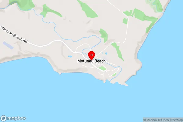
Blythe Valley, Motunau BeachMotunau Area Map (Street)
Local Authority
Hurunui DistrictFull Address
Motunau, Hurunui District, New ZealandAddress Type
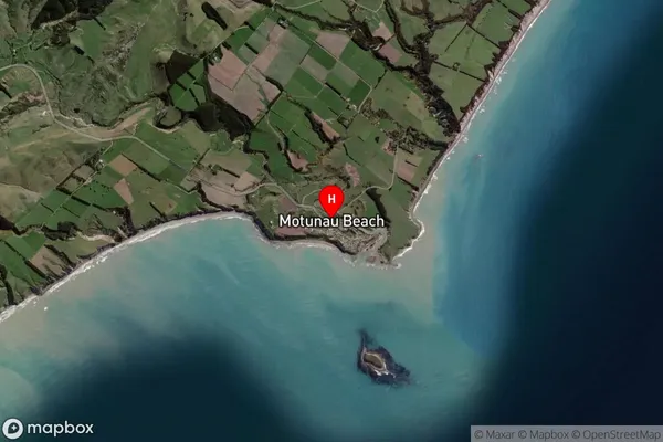
Locality in Major Locality Greta ValleyMotunau Suburb Map (Satellite)
Country
Main Region in AU
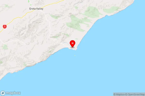
CanterburyMotunau Region Map
Coordinates
-43.0463144,173.0713373 (latitude/longitude)Distances
The distance from Motunau, Greta Valley, Hurunui District to NZ Top 10 Cities